Morrisons Area, Morrisons Postcode & Map in Morrisons
Morrisons Area, Morrisons Postcode & Map in Morrisons, Waitaki District, New Zealand
Morrisons, Waitaki District, New Zealand
Morrisons Area (estimated)
66.2 square kilometersMorrisons Population (estimated)
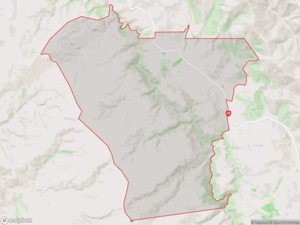
12 people live in Morrisons, Otago, NZMorrisons Suburb Area Map (Polygon)
Morrisons Introduction
Morrisons is a supermarket chain in New Zealand, owned by the New Zealand Foodstuffs Group Limited. It has 13 stores in Otago, with the store in Palmerston being one of them. The store offers a wide range of groceries, including fresh produce, meat, dairy products, and household items. It also provides services such as petrol pumping, bakery, and convenience store.Region
Major City
Suburb Name
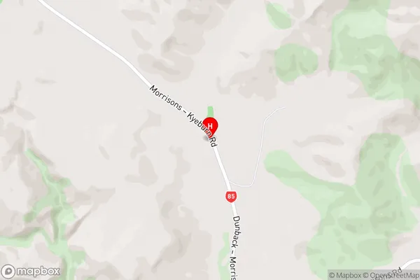
MorrisonsMorrisons Area Map (Street)
Local Authority
Waitaki DistrictFull Address
Morrisons, Waitaki District, New ZealandAddress Type
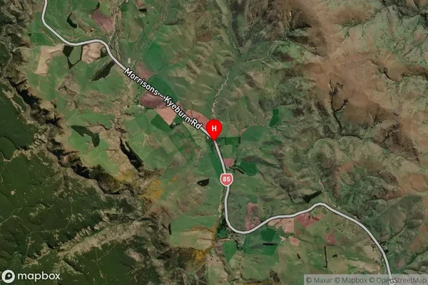
Locality in Town PalmerstonMorrisons Suburb Map (Satellite)
Country
Main Region in AU
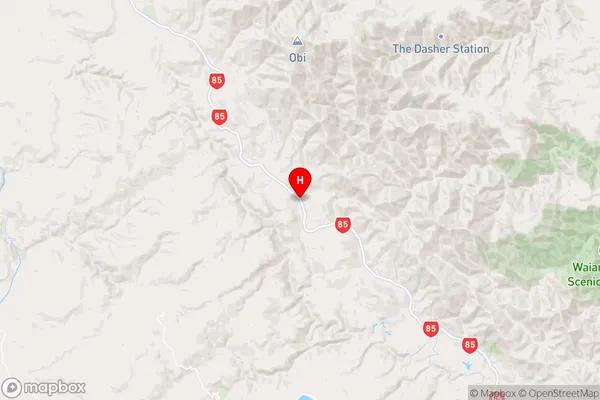
OtagoMorrisons Region Map
Coordinates
-45.2580322,170.4791021 (latitude/longitude)Distances
The distance from Morrisons, Palmerston, Waitaki District to NZ Top 10 Cities