Stoneburn Area, Stoneburn Postcode(9481) & Map in Stoneburn
Stoneburn Area, Stoneburn Postcode(9481) & Map in Stoneburn, Waitaki District, New Zealand
Stoneburn, Waitaki District, New Zealand
Stoneburn Postcodes
Stoneburn Area (estimated)
77.7 square kilometersStoneburn Population (estimated)
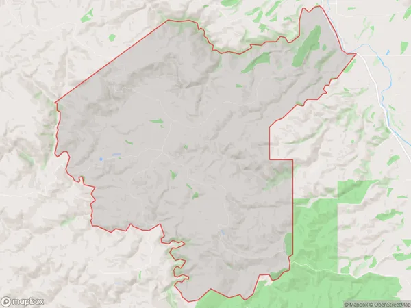
20 people live in Stoneburn, Otago, NZStoneburn Suburb Area Map (Polygon)
Stoneburn Introduction
Stoneburn is a small rural community located in the Palmerston district of Otago, New Zealand. It is situated approximately 20 kilometers south of Dunedin and 10 kilometers north of Palmerston North. The area is known for its scenic countryside, with rolling hills, lush green fields, and picturesque rivers. Stoneburn has a population of around 200 people and is home to a variety of businesses, including a farm store, a post office, and a tavern. The community also has a primary school and a church.Region
Major City
Suburb Name
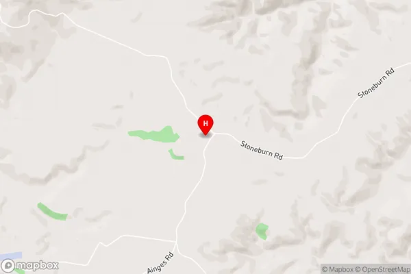
StoneburnStoneburn Area Map (Street)
Local Authority
Waitaki DistrictFull Address
Stoneburn, Waitaki District, New ZealandAddress Type
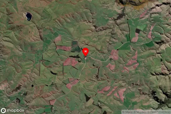
Locality in Town PalmerstonStoneburn Suburb Map (Satellite)
Country
Main Region in AU
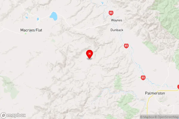
OtagoStoneburn Region Map
Coordinates
-45.4297201,170.5646539 (latitude/longitude)Distances
The distance from Stoneburn, Palmerston, Waitaki District to NZ Top 10 Cities