Waihemo Area, Waihemo Postcode & Map in Waihemo
Waihemo Area, Waihemo Postcode & Map in Waihemo, Waitaki District, New Zealand
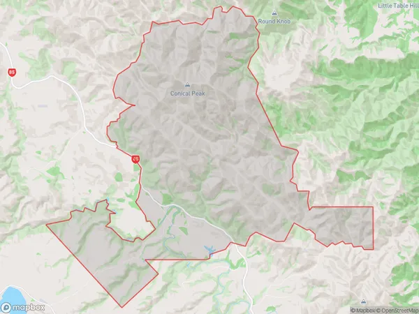
Waihemo, Waitaki District, New Zealand
Waihemo Area (estimated)
96.6 square kilometersWaihemo Population (estimated)
4 people live in Waihemo, Otago, NZWaihemo Suburb Area Map (Polygon)
Waihemo Introduction
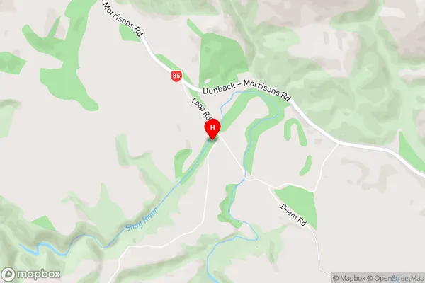
Waihemo is a small rural community in Palmerston North, Otago, New Zealand. It is located on the banks of the Waihemo River and is known for its beautiful gardens and historic buildings. The area was first settled by Māori in the 13th century and was named after the river by early European settlers. Waihemo today is a popular tourist destination and is home to a variety of businesses and services, including a golf course, a hotel, and a supermarket.Region
Major City
Suburb Name
WaihemoWaihemo Area Map (Street)
Local Authority
Waitaki DistrictFull Address
Waihemo, Waitaki District, New ZealandAddress Type
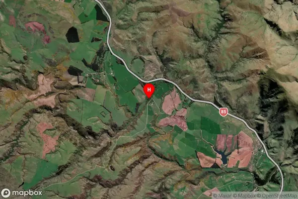
Locality in Town PalmerstonWaihemo Suburb Map (Satellite)
Country
Main Region in AU
OtagoWaihemo Region Map

Coordinates
-45.3245383,170.5687783 (latitude/longitude)Distances
The distance from Waihemo, Palmerston, Waitaki District to NZ Top 10 Cities