Inch Valley Area, Inch Valley Postcode & Map in Inch Valley
Inch Valley Area, Inch Valley Postcode & Map in Inch Valley, Waitaki District, New Zealand
Inch Valley, Waitaki District, New Zealand
Inch Valley Area (estimated)
7.3 square kilometersInch Valley Population (estimated)
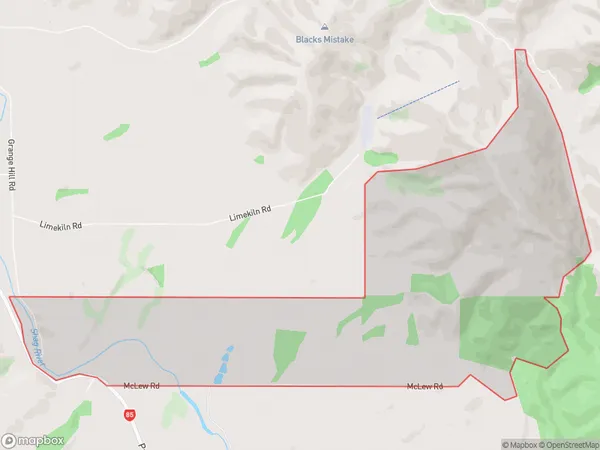
15 people live in Inch Valley, Otago, NZInch Valley Suburb Area Map (Polygon)
Inch Valley Introduction
Inch Valley is a small rural community located in Palmerston, Otago, New Zealand. It is situated in the Manawatu-Wanganui region and is known for its scenic landscapes, including the Inch Valley Forest Park and the surrounding hills. The community has a population of around 300 people and is home to a variety of businesses and services, including a primary school, a convenience store, and a pub.Region
Major City
Suburb Name
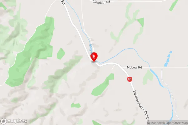
Inch ValleyInch Valley Area Map (Street)
Local Authority
Waitaki DistrictFull Address
Inch Valley, Waitaki District, New ZealandAddress Type
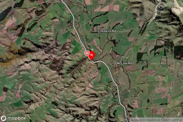
Locality in Town PalmerstonInch Valley Suburb Map (Satellite)
Country
Main Region in AU
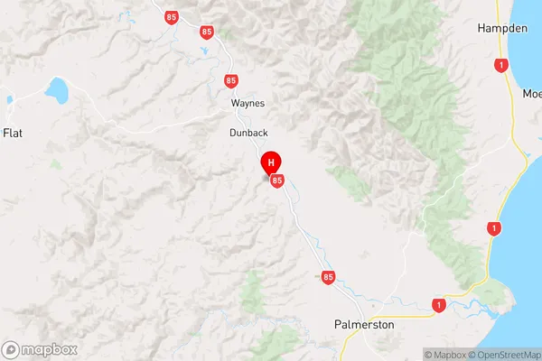
OtagoInch Valley Region Map
Coordinates
-45.4073988,170.6445622 (latitude/longitude)Distances
The distance from Inch Valley, Palmerston, Waitaki District to NZ Top 10 Cities