Goodwood Area, Goodwood Postcode(9481) & Map in Goodwood
Goodwood Area, Goodwood Postcode(9481) & Map in Goodwood, Waitaki District, New Zealand
Goodwood, Waitaki District, New Zealand
Goodwood Postcodes
Goodwood Area (estimated)
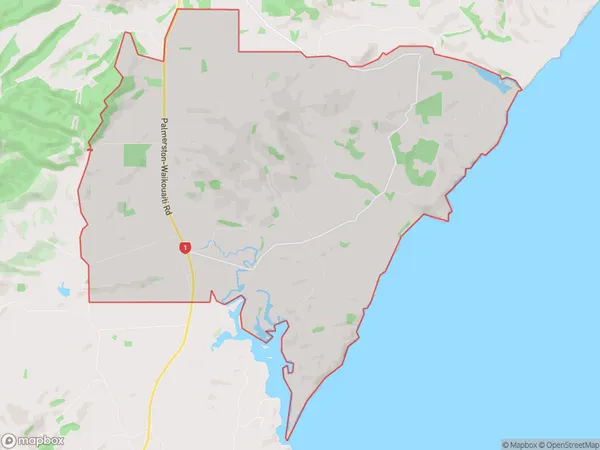
42.8 square kilometersGoodwood Population (estimated)
144 people live in Goodwood, Otago, NZGoodwood Suburb Area Map (Polygon)
Goodwood Introduction
Goodwood is a small rural town in Otago, New Zealand, located 10 kilometers south of Palmerston. It was established in 1865 and named after the Goodwood Estate in England. The town has a population of around 200 people and is known for its historic buildings, including the Goodwood Hotel and the Goodwood Hall. The surrounding area is popular for farming and outdoor activities such as hiking and skiing.Region
Major City
Suburb Name
GoodwoodOther Name(s)
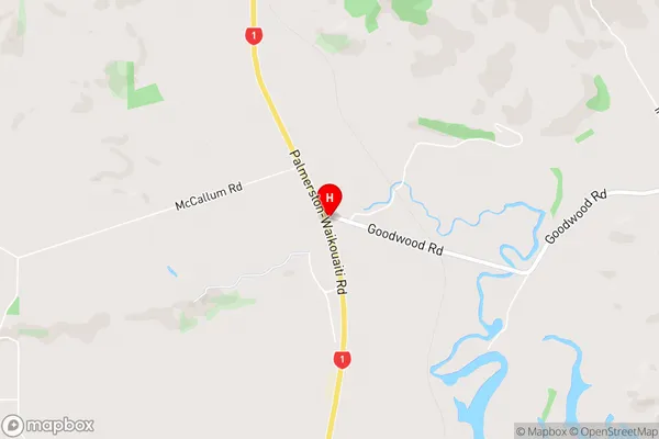
WairungaGoodwood Area Map (Street)
Local Authority
Waitaki DistrictFull Address
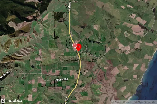
Goodwood, Waitaki District, New ZealandAddress Type
Locality in Town PalmerstonGoodwood Suburb Map (Satellite)
Country
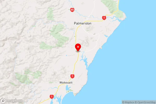
Main Region in AU
OtagoGoodwood Region Map
Coordinates
-45.537289,170.7032398 (latitude/longitude)Distances
The distance from Goodwood, Palmerston, Waitaki District to NZ Top 10 Cities