Round Hill Area, Round Hill Postcode(9534) & Map in Round Hill
Round Hill Area, Round Hill Postcode(9534) & Map in Round Hill, Waitaki District, New Zealand
Round Hill, Waitaki District, New Zealand
Round Hill Postcodes
Round Hill Area (estimated)
75.3 square kilometersRound Hill Population (estimated)
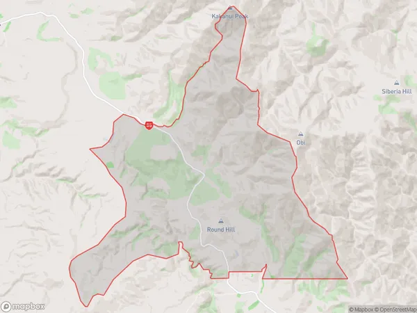
2 people live in Round Hill, Otago, NZRound Hill Suburb Area Map (Polygon)
Round Hill Introduction
Round Hill is a suburb of Palmerston North, New Zealand. It is located on the southern side of the city, approximately 5 km from the central business district. The suburb is known for its peaceful atmosphere, scenic views, and well-maintained homes. It is a popular residential area for families and professionals.Region
Major City
Suburb Name
Round HillOther Name(s)
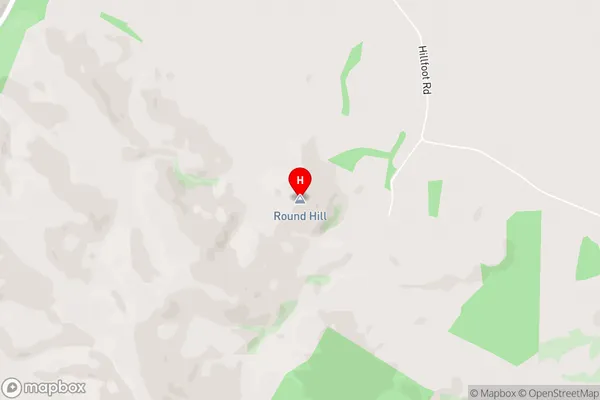
Otago GoldfieldsRound Hill Area Map (Street)
Local Authority
Waitaki DistrictFull Address
Round Hill, Waitaki District, New ZealandAddress Type
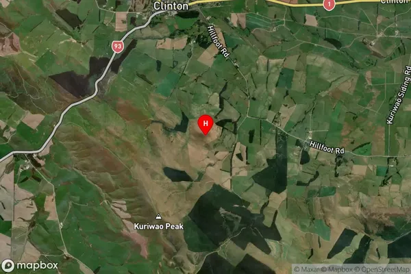
Locality in Town PalmerstonRound Hill Suburb Map (Satellite)
Country
Main Region in AU
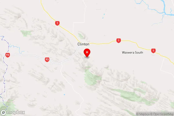
OtagoRound Hill Region Map
Coordinates
-46.224839,169.383908 (latitude/longitude)Distances
The distance from Round Hill, Palmerston, Waitaki District to NZ Top 10 Cities