Omarama Suburbs & Region, Omarama Map & Postcodes in Omarama, Waitaki, Otago
Omarama Postcodes, Omarama ZipCodes, Omarama , Omarama Otago, Omarama Suburbs, Omarama Region, Omarama Map, Omarama Area
Omarama Region (Clearburn Region)
Omarama Suburbs
Omarama is a suburb place type in Waitaki, Otago, NZ. It contains 5 suburbs or localities.Omarama district
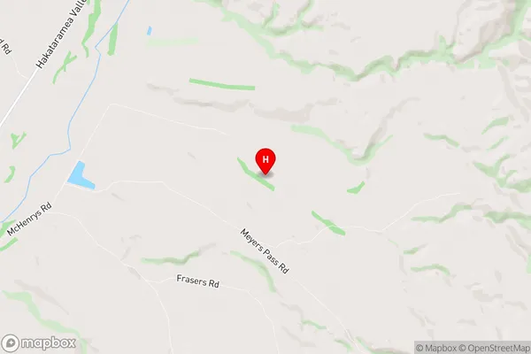
WaitakiOmarama Region Map
Omarama Introduction
Omarama is a small town located in the Otago region of New Zealand, known for its stunning natural scenery and outdoor activities. It is situated on the Omarama River, a popular spot for fishing, kayaking, and hiking. The town has a population of around 2,000 people and is surrounded by mountains, forests, and farmland. Visitors can explore the nearby Omarama Desert, visit the Omarama Clay Cliffs, or take a scenic drive along the Omarama Scenic Drive. The town also has a variety of accommodation options, including hotels, motels, and holiday homes.Omarama Region
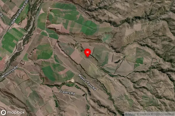
Omarama Satellite Map
Full Address
Omarama, Waitaki, OtagoOmarama Coordinates
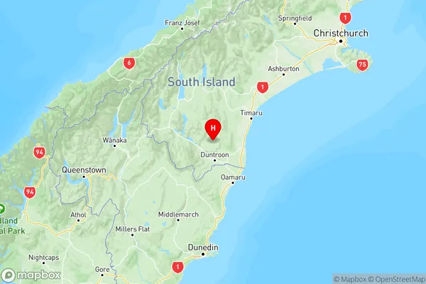
-44.6511315,170.6578355 (Latitude / Longitude)Omarama Map in NZ
NZ Island
South IslandCountry
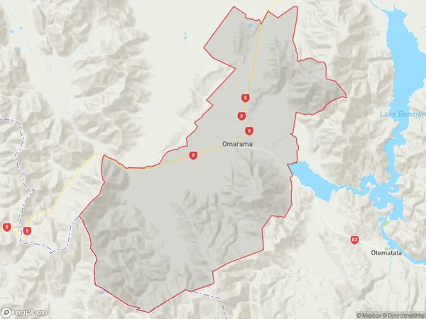
Omarama Area Map (Polygon)
Name
OmaramaAdditional Name
ClearburnLocal Authority
Waitaki District