Lake Ohau Area, Lake Ohau Postcode(7901) & Map in Lake Ohau
Lake Ohau Area, Lake Ohau Postcode(7901) & Map in Lake Ohau, Waitaki District, New Zealand
Lake Ohau, Waitaki District, New Zealand
Lake Ohau Postcodes
Lake Ohau Area (estimated)
268.1 square kilometersLake Ohau Population (estimated)
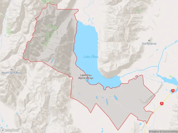
125 people live in Lake Ohau, Canterbury, NZLake Ohau Suburb Area Map (Polygon)
Lake Ohau Introduction
Lake Ohau is a large glacially formed lake in the Southern Alps of New Zealand. It is located in the Omarama Range, 90 kilometers west of Dunedin, and is a popular tourist destination for its scenic beauty, trout fishing, and hiking trails. The lake is surrounded by rugged mountain terrain and is fed by several glaciers, including the Ohau Glacier.Region
Major City
Suburb Name
Lake Ohau (Maori Name: Lake Ōhau)Other Name(s)
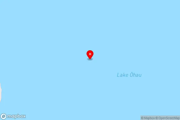
Lake Ohau Alpine VillageLake Ohau Area Map (Street)
Local Authority
Waitaki DistrictFull Address
Lake Ohau, Waitaki District, New ZealandAddress Type
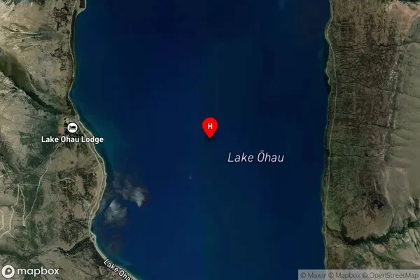
Locality in Major Locality OmaramaLake Ohau Suburb Map (Satellite)
Country
Main Region in AU
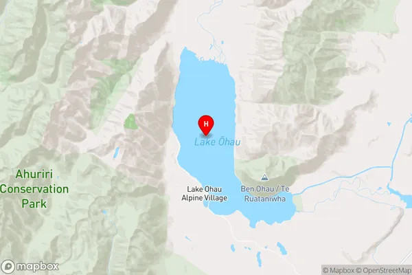
CanterburyLake Ohau Region Map
Coordinates
-44.2314982,169.849079609396 (latitude/longitude)Distances
The distance from Lake Ohau, Omarama, Waitaki District to NZ Top 10 Cities