Hampden Suburbs & Region, Hampden Map & Postcodes in Hampden, Waitaki, Otago
Hampden Postcodes, Hampden ZipCodes, Hampden , Hampden Otago, Hampden Suburbs, Hampden Region, Hampden Map, Hampden Area
Hampden Region
Hampden Suburbs
Hampden is a city place type in Waitaki, Otago, NZ. It contains 2 suburbs or localities.Hampden district
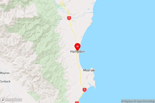
WaitakiHampden Region Map
Hampden Introduction
Hampden is a small town in Otago, New Zealand, located on the banks of the Clutha River. It is known for its historic buildings, including the Hampden Hotel, which was built in 1864. The town has a population of around 3,000 people and is a popular tourist destination, particularly for its skiing and hiking opportunities in the surrounding mountains. Hampden also has a rich agricultural history, with many farms and orchards in the area.Hampden Region
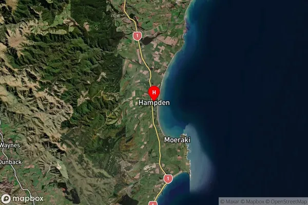
Hampden Satellite Map
Full Address
Hampden, Waitaki, OtagoHampden Coordinates
-45.325875,170.820501 (Latitude / Longitude)Hampden Map in NZ
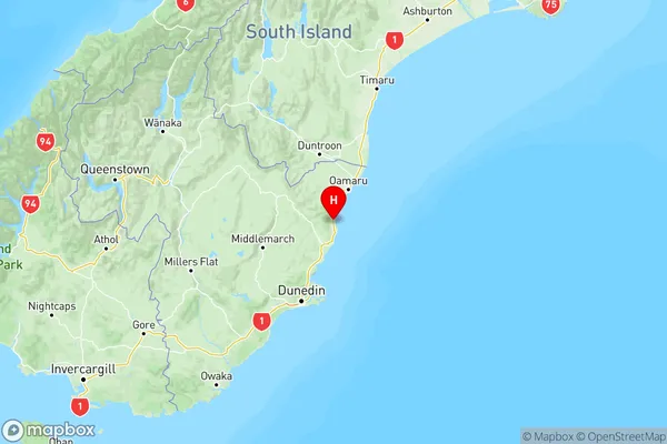
NZ Island
South IslandCountry
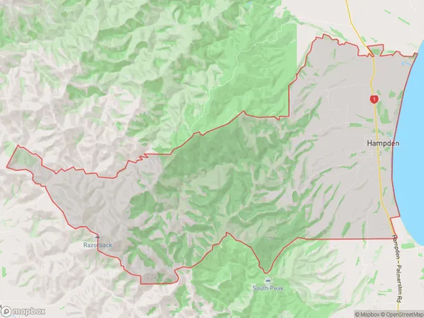
Hampden Area Map (Polygon)
Name
HampdenAdditional Name
Local Authority
Waitaki District
Hampden Suburbs (Sort by Population)
Hampden
Hampden - 442Waianakarua
Waianakarua - 68