Maheno Suburbs & Region, Maheno Map & Postcodes in Maheno, Waitaki, Otago
Maheno Postcodes, Maheno ZipCodes, Maheno , Maheno Otago, Maheno Suburbs, Maheno Region, Maheno Map, Maheno Area
Maheno Region
Maheno Suburbs
Maheno is a suburb place type in Waitaki, Otago, NZ. It contains 0 suburbs or localities.Maheno district
WaitakiMaheno Region Map
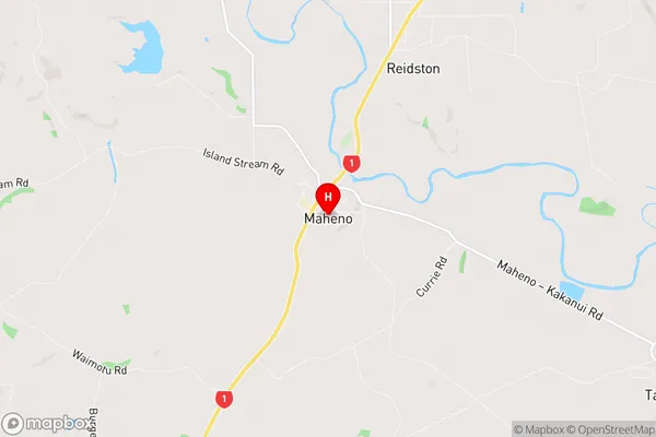
Maheno Introduction
Maheno is a small township on the Otago Central Rail Trail in Otago, New Zealand. It was established in 1865 to service the gold mining industry in the area. The town was named after the Maheno ship, which was wrecked on nearby rocks in 1863. Today, Maheno is a popular tourist destination and a hub for outdoor activities such as hiking, skiing, and fishing. The town has a historic church, a hotel, and several cafes and restaurants. The nearby Maheno Glacier is a popular attraction for tourists who want to experience the beauty of New Zealand's glaciers.Maheno Region
Maheno City
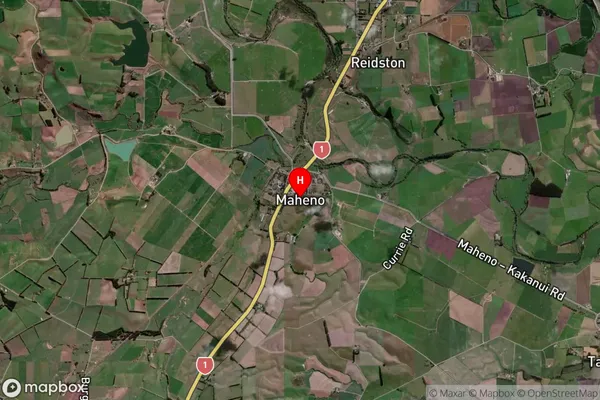
Maheno Satellite Map
Full Address
Maheno, Waitaki, OtagoMaheno Coordinates
-45.169059,170.837972 (Latitude / Longitude)Maheno Map in NZ
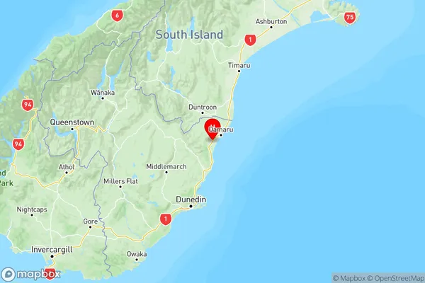
NZ Island
South IslandCountry
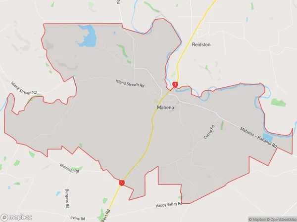
Maheno Area Map (Polygon)
Name
MahenoAdditional Name
Local Authority
Waitaki District
Maheno Suburbs (Sort by Population)
Maheno suburb has around
29.6 square
kilometers.There are more than 193 people (estimated)
live in Maheno, Oamaru, Otago, New Zealand.