Maheno Area, Maheno Postcode(9495) & Map in Maheno
Maheno Area, Maheno Postcode(9495) & Map in Maheno, Waitaki District, New Zealand
Maheno, Waitaki District, New Zealand
Maheno Postcodes
Maheno Area (estimated)
29.6 square kilometersMaheno Population (estimated)
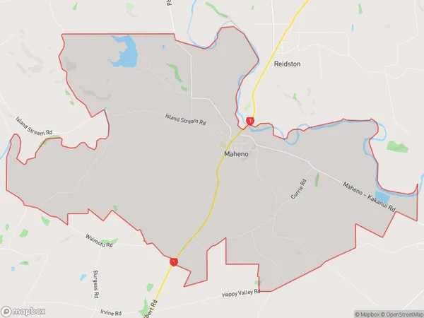
193 people live in Maheno, Otago, NZMaheno Suburb Area Map (Polygon)
Maheno Introduction
Maheno is a historic shipwreck located off the coast of Oamaru, New Zealand. It was a passenger liner that sank in 1908 during its maiden voyage, killing over 150 people. The wreckage is a popular tourist attraction and is considered one of New Zealand's most significant maritime disasters.Region
Major City
Suburb Name
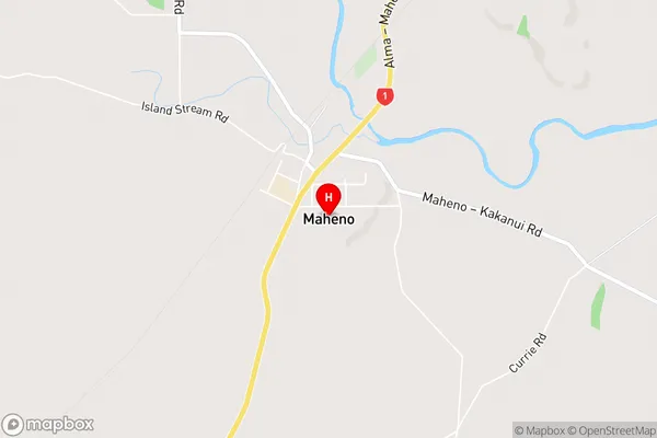
MahenoMaheno Area Map (Street)
Local Authority
Waitaki DistrictFull Address
Maheno, Waitaki District, New ZealandAddress Type
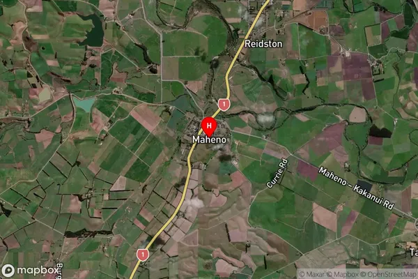
Locality in Town OamaruMaheno Suburb Map (Satellite)
Country
Main Region in AU
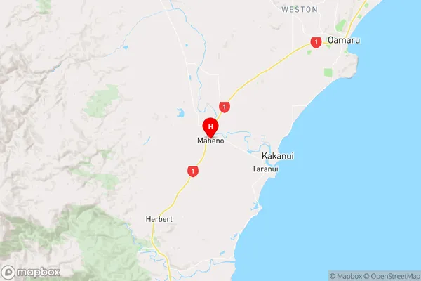
OtagoMaheno Region Map
Coordinates
-45.1690588,170.8379722 (latitude/longitude)Distances
The distance from Maheno, Oamaru, Waitaki District to NZ Top 10 Cities