Duntroon Suburbs & Region, Duntroon Map & Postcodes in Duntroon, Waitaki, Otago
Duntroon Postcodes, Duntroon ZipCodes, Duntroon , Duntroon Otago, Duntroon Suburbs, Duntroon Region, Duntroon Map, Duntroon Area
Duntroon Region
Duntroon Suburbs
Duntroon is a suburb place type in Waitaki, Otago, NZ. It contains 8 suburbs or localities.Duntroon Postcodes
Duntroon district
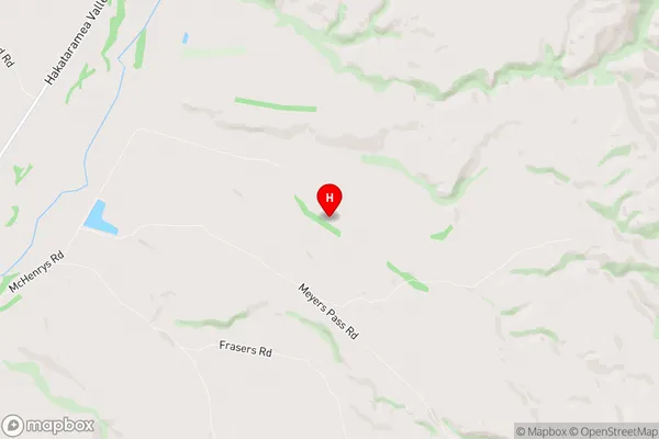
WaitakiDuntroon Region Map
Duntroon Introduction
Duntroon is a small rural community in Otago, New Zealand, located on the banks of the Otago Harbour. It is known for its scenic views, historic buildings, and outdoor activities such as hiking, skiing, and fishing. The area was settled in the 1860s and has a rich history of farming and forestry. Duntroon also has a small population of around 100 people and is home to a primary school, a church, and a community hall. The village is surrounded by beautiful countryside and is a popular destination for tourists and locals alike.Duntroon Region
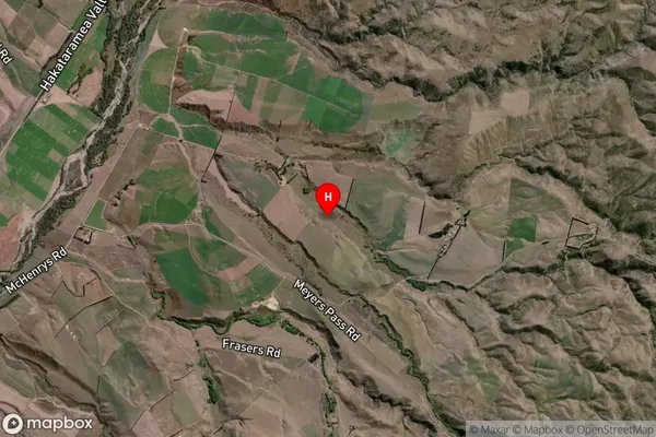
Duntroon Satellite Map
Full Address
Duntroon, Waitaki, OtagoDuntroon Coordinates
-44.6511315,170.6578355 (Latitude / Longitude)Duntroon Map in NZ

NZ Island
South IslandCountry
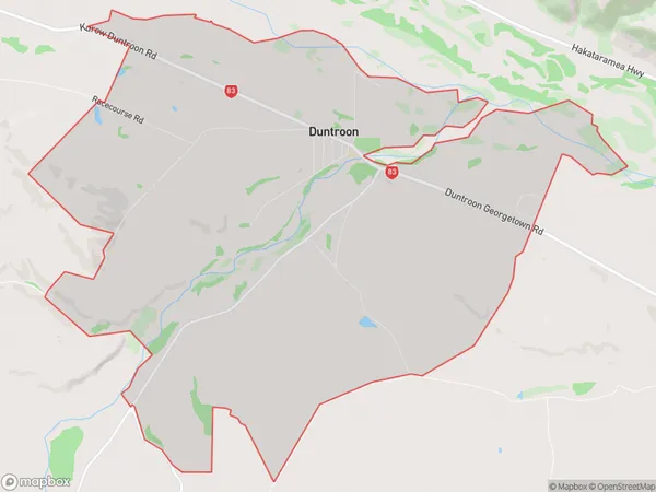
Duntroon Area Map (Polygon)
Name
DuntroonAdditional Name
Local Authority
Waitaki District
Duntroon Suburbs (Sort by Population)
Duntroon
Duntroon - 153Otekaieke
Otekaieke - 103Otiake
Otiake - 102Kokoamo
Kokoamo - 89Maerewhenua
Maerewhenua - 23Earthquakes
Earthquakes - 17Black Point
Black Point - 17Waikaura
Waikaura - 12