Earthquakes Area, Earthquakes Postcode & Map in Earthquakes
Earthquakes Area, Earthquakes Postcode & Map in Earthquakes, Waitaki District, New Zealand
Earthquakes, Waitaki District, New Zealand
Earthquakes Area (estimated)
38.5 square kilometersEarthquakes Population (estimated)
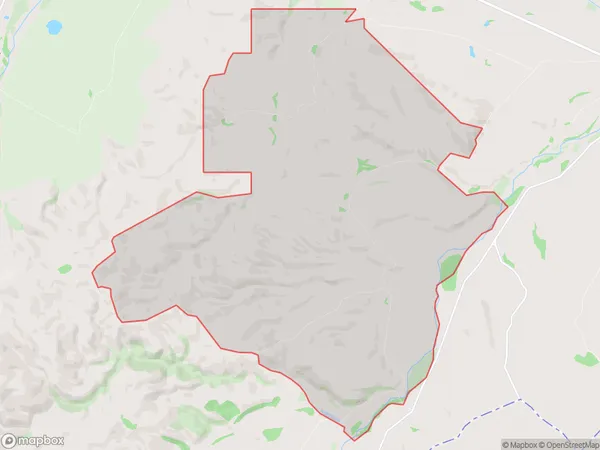
17 people live in Earthquakes, Canterbury, NZEarthquakes Suburb Area Map (Polygon)
Earthquakes Introduction
Duntroon, a small town in Canterbury, New Zealand, is known for its historic buildings and scenic surroundings. However, it is also prone to earthquakes due to its location on the Pacific Ring of Fire. The town has experienced several significant earthquakes in the past, including a magnitude 7.8 earthquake in 1931 that caused significant damage to buildings and infrastructure. Despite this, Duntroon has a strong community spirit and continues to thrive, with many residents working to rebuild and recover from the effects of past earthquakes.Region
0Suburb Name
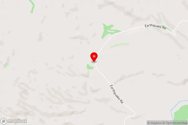
EarthquakesEarthquakes Area Map (Street)
Local Authority
Waitaki DistrictFull Address
Earthquakes, Waitaki District, New ZealandAddress Type
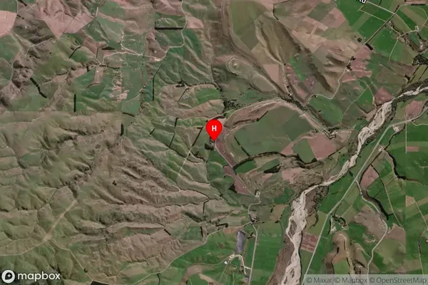
Locality in Major Locality DuntroonEarthquakes Suburb Map (Satellite)
Country
Main Region in AU
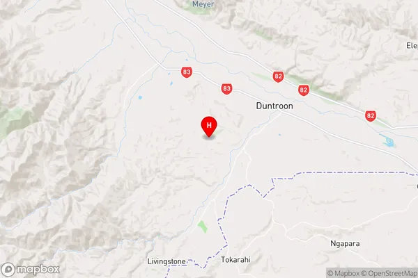
CanterburyEarthquakes Region Map
Coordinates
-44.8771024,170.6186898 (latitude/longitude)Distances
The distance from Earthquakes, Duntroon, Waitaki District to NZ Top 10 Cities