Otiake Area, Otiake Postcode(9435) & Map in Otiake
Otiake Area, Otiake Postcode(9435) & Map in Otiake, Waitaki District, New Zealand
Otiake, Waitaki District, New Zealand
Otiake Postcodes
Otiake Area (estimated)
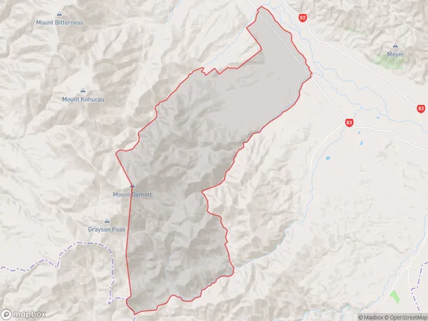
166.6 square kilometersOtiake Population (estimated)
102 people live in Otiake, Canterbury, NZOtiake Suburb Area Map (Polygon)
Otiake Introduction
Otiake is a small rural community in the Canterbury region of New Zealand, located near the Duntroon Forest Park. It is known for its scenic surroundings, including the Otiake Gorge and the Otiake Stream. The community has a primary school, a post office, and a small supermarket. Otiake is a popular destination for outdoor activities such as hiking, mountain biking, and fishing, and is surrounded by beautiful natural landscapes.Region
0Suburb Name
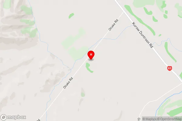
OtiakeOtiake Area Map (Street)
Local Authority
Waitaki DistrictFull Address
Otiake, Waitaki District, New ZealandAddress Type
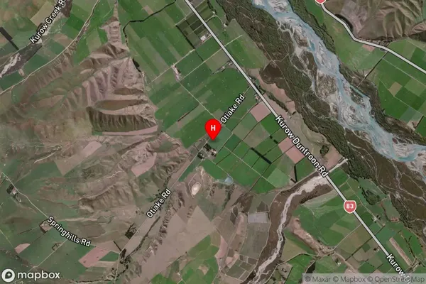
Locality in Major Locality DuntroonOtiake Suburb Map (Satellite)
Country
Main Region in AU
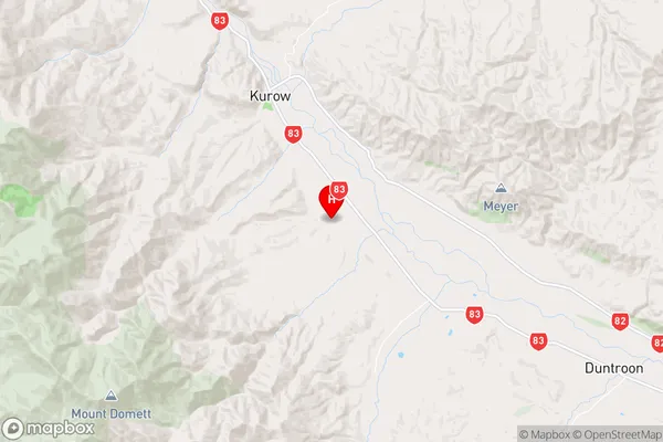
CanterburyOtiake Region Map
Coordinates
-44.7890666,170.5077185 (latitude/longitude)Distances
The distance from Otiake, Duntroon, Waitaki District to NZ Top 10 Cities