Black Point Area, Black Point Postcode(9494) & Map in Black Point
Black Point Area, Black Point Postcode(9494) & Map in Black Point, Waitaki District, New Zealand
Black Point, Waitaki District, New Zealand
Black Point Postcodes
Black Point Area (estimated)
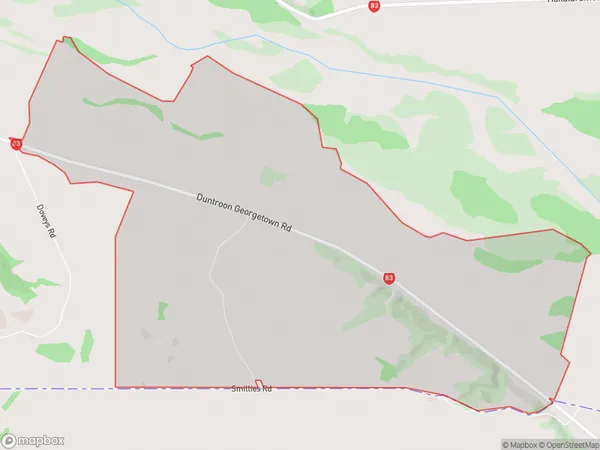
11.8 square kilometersBlack Point Population (estimated)
17 people live in Black Point, Canterbury, NZBlack Point Suburb Area Map (Polygon)
Black Point Introduction
Black Point is a historic homestead located in Duntroon, Canterbury, New Zealand. It was built in the 1850s and is considered one of the most photographed buildings in the country. The homestead is surrounded by picturesque gardens and farmland and is a popular tourist attraction.Region
0Suburb Name
Black PointOther Name(s)
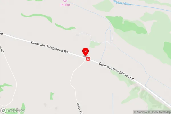
Black PtBlack Point Area Map (Street)
Local Authority
Waitaki DistrictFull Address
Black Point, Waitaki District, New ZealandAddress Type
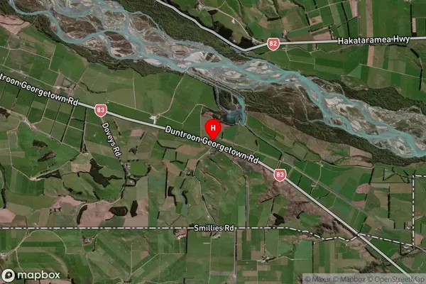
Locality in Major Locality DuntroonBlack Point Suburb Map (Satellite)
Country
Main Region in AU
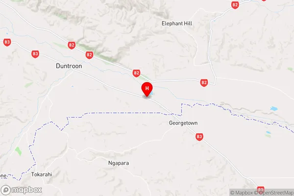
CanterburyBlack Point Region Map
Coordinates
-44.88572,170.792706 (latitude/longitude)Distances
The distance from Black Point, Duntroon, Waitaki District to NZ Top 10 Cities