Duntroon Area, Duntroon Postcode(9445) & Map in Duntroon
Duntroon Area, Duntroon Postcode(9445) & Map in Duntroon, Waitaki District, New Zealand
Duntroon, Waitaki District, New Zealand
Duntroon Postcodes
Duntroon Area (estimated)
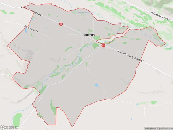
26.3 square kilometersDuntroon Population (estimated)
153 people live in Duntroon, Canterbury, NZDuntroon Suburb Area Map (Polygon)
Duntroon Introduction
Duntroon is a historic house located in Duntroon, Canterbury, New Zealand. It was built in 1855 for Charles Buller, the 4th Governor of New Zealand. The house is surrounded by 12 hectares of gardens and forests and is considered one of the finest examples of Victorian-era architecture in New Zealand. The house is open to the public and is a popular tourist attraction.Region
0Suburb Name
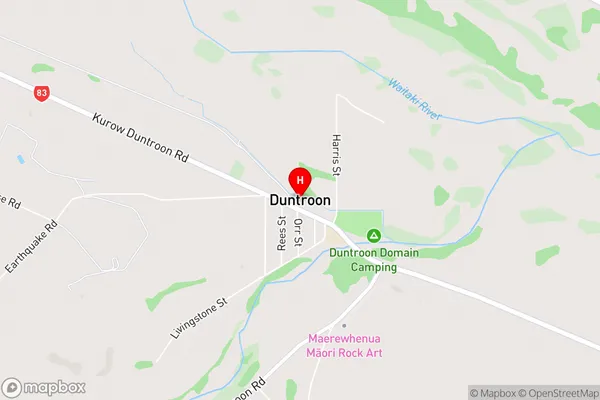
DuntroonDuntroon Area Map (Street)
Local Authority
Waitaki DistrictFull Address
Duntroon, Waitaki District, New ZealandAddress Type
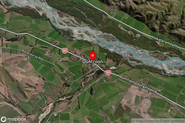
Locality in Major Locality DuntroonDuntroon Suburb Map (Satellite)
Country
Main Region in AU
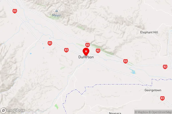
CanterburyDuntroon Region Map
Coordinates
-44.8538398,170.6832097 (latitude/longitude)Distances
The distance from Duntroon, Duntroon, Waitaki District to NZ Top 10 Cities