Otekaieke Area, Otekaieke Postcode & Map in Otekaieke
Otekaieke Area, Otekaieke Postcode & Map in Otekaieke, Waitaki District, New Zealand
Otekaieke, Waitaki District, New Zealand
Otekaieke Area (estimated)
110.5 square kilometersOtekaieke Population (estimated)
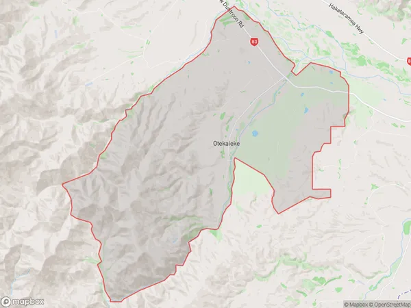
103 people live in Otekaieke, Canterbury, NZOtekaieke Suburb Area Map (Polygon)
Otekaieke Introduction
Otekaieke is a rural community in the Canterbury region of New Zealand, located in the Duntroon township. It is known for its scenic rural landscape, with rolling hills, farmland, and picturesque views of the surrounding countryside. The community has a population of around 100 people and is home to a variety of wildlife, including birds, rabbits, and deer. Otekaieke also has a small community hall and a primary school, and is located close to several outdoor recreational areas, including the Duntroon Forest Park and the Mount Grey Conservation Park.Region
0Suburb Name
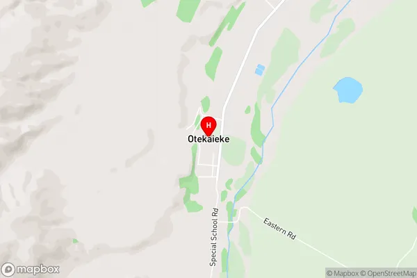
OtekaiekeOtekaieke Area Map (Street)
Local Authority
Waitaki DistrictFull Address
Otekaieke, Waitaki District, New ZealandAddress Type
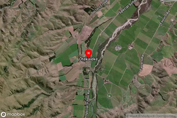
Locality in Major Locality DuntroonOtekaieke Suburb Map (Satellite)
Country
Main Region in AU
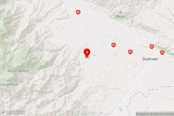
CanterburyOtekaieke Region Map
Coordinates
-44.8523435,170.5336556 (latitude/longitude)Distances
The distance from Otekaieke, Duntroon, Waitaki District to NZ Top 10 Cities