Maerewhenua Area, Maerewhenua Postcode & Map in Maerewhenua
Maerewhenua Area, Maerewhenua Postcode & Map in Maerewhenua, Waitaki District, New Zealand
Maerewhenua, Waitaki District, New Zealand
Maerewhenua Area (estimated)
65.9 square kilometersMaerewhenua Population (estimated)
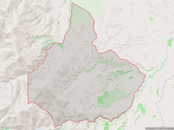
23 people live in Maerewhenua, Canterbury, NZMaerewhenua Suburb Area Map (Polygon)
Maerewhenua Introduction
Maerewhenua, Duntroon, Canterbury, New Zealand, was a large and prosperous Māori village. It was established in the 1850s and had a population of around 1000 people. The village was known for its beautiful gardens, which were filled with fruit trees, flowers, and vegetables. The villagers also had a strong cultural heritage, with many practicing traditional Māori crafts and rituals. However, the village was eventually abandoned, and today only ruins remain.Region
0Suburb Name
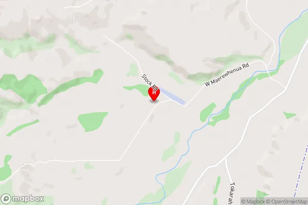
MaerewhenuaMaerewhenua Area Map (Street)
Local Authority
Waitaki DistrictFull Address
Maerewhenua, Waitaki District, New ZealandAddress Type
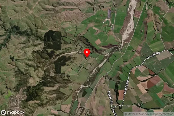
Locality in Major Locality DuntroonMaerewhenua Suburb Map (Satellite)
Country
Main Region in AU
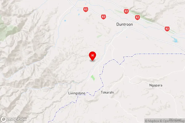
CanterburyMaerewhenua Region Map
Coordinates
-44.9126868,170.6118242 (latitude/longitude)Distances
The distance from Maerewhenua, Duntroon, Waitaki District to NZ Top 10 Cities