Otematata Suburbs & Region, Otematata Map & Postcodes in Otematata, Waitaki, Otago
Otematata Postcodes, Otematata ZipCodes, Otematata , Otematata Otago, Otematata Suburbs, Otematata Region, Otematata Map, Otematata Area
Otematata Region
Otematata Suburbs
Otematata is a suburb place type in Waitaki, Otago, NZ. It contains 2 suburbs or localities.Otematata Postcodes
Otematata district
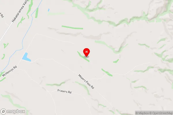
WaitakiOtematata Region Map
Otematata Introduction
Otematata is a small township in Otago, New Zealand, located on the banks of the Otematata River. It is known for its scenic beauty, with rolling hills, lush green valleys, and picturesque views of the surrounding mountains. The township has a population of around 500 people and is a popular destination for outdoor activities such as hiking, fishing, and hunting. It is also home to a variety of wildlife, including kea, tui, and red deer. Otematata is located approximately 30 minutes from Dunedin and 1 hour from Queenstown, making it an ideal base for exploring the southern region of New Zealand.Otematata Region
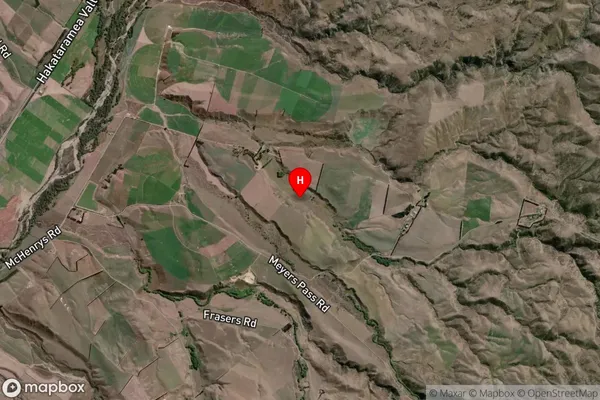
Otematata Satellite Map
Full Address
Otematata, Waitaki, OtagoOtematata Coordinates
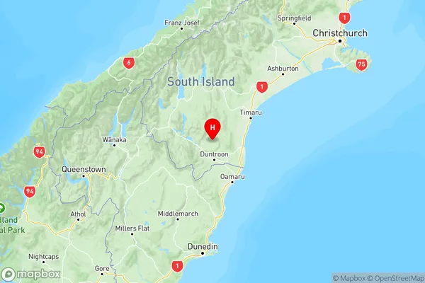
-44.6511315,170.6578355 (Latitude / Longitude)Otematata Map in NZ
NZ Island
South IslandCountry
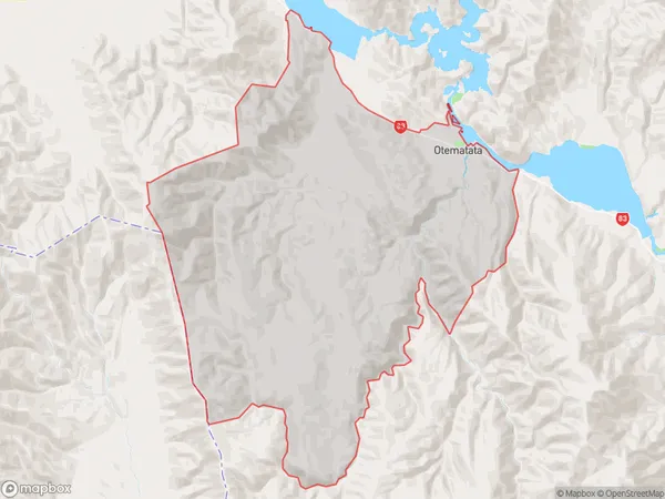
Otematata Area Map (Polygon)
Name
OtematataAdditional Name
Local Authority
Waitaki District