Otematata Area, Otematata Postcode(9412) & Map in Otematata
Otematata Area, Otematata Postcode(9412) & Map in Otematata, Waitaki District, New Zealand
Otematata, Waitaki District, New Zealand
Otematata Area (estimated)
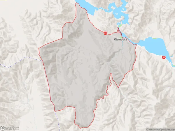
492.6 square kilometersOtematata Population (estimated)
286 people live in Otematata, Canterbury, NZOtematata Suburb Area Map (Polygon)
Otematata Introduction
Otematata is a small rural community in the Canterbury region of New Zealand, located 10 kilometers south of Ashburton. It is known for its picturesque rural setting, with rolling hills and farmland surrounding the village. The community has a primary school, a church, and a small supermarket. Otematata is also home to a number of historic buildings, including the Otematata Hotel, which was built in 1887. The village is surrounded by scenic parks and reserves, including the Otematata Scenic Reserve, which is popular with walkers and outdoor enthusiasts.Region
Major City
Suburb Name
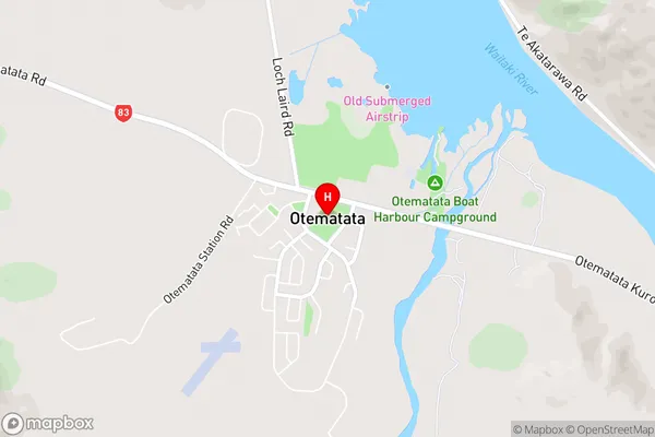
OtematataOtematata Area Map (Street)
Local Authority
Waitaki DistrictFull Address
Otematata, Waitaki District, New ZealandAddress Type
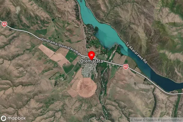
Suburb in Major Locality OtematataOtematata Suburb Map (Satellite)
Country
Main Region in AU
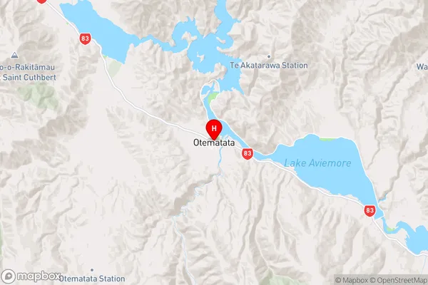
CanterburyOtematata Region Map
Coordinates
-44.6048076,170.1934054 (latitude/longitude)Distances
The distance from Otematata, Otematata, Waitaki District to NZ Top 10 Cities