Benmore Area, Benmore Postcode & Map in Benmore
Benmore Area, Benmore Postcode & Map in Benmore, Waitaki District, New Zealand
Benmore, Waitaki District, New Zealand
Benmore Area (estimated)
43.5 square kilometersBenmore Population (estimated)
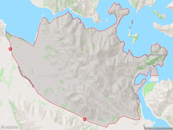
6 people live in Benmore, Oreti Community, NZBenmore Suburb Area Map (Polygon)
Benmore Introduction
Benmore is a small rural town in Southland, New Zealand, located on the banks of the Otematata River. It is known for its scenic beauty, with rolling hills, lush green forests, and a peaceful atmosphere. The town has a population of around 500 people and is a popular destination for outdoor enthusiasts, with numerous hiking and cycling trails nearby. It also has a historic stone church and a community hall that hosts regular events and gatherings.Region
Major City
Suburb Name
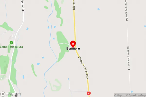
BenmoreBenmore Area Map (Street)
Local Authority
Waitaki DistrictFull Address
Benmore, Waitaki District, New ZealandAddress Type
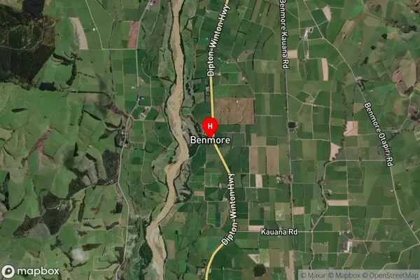
Locality in Major Locality OtematataBenmore Suburb Map (Satellite)
Country
Main Region in AU
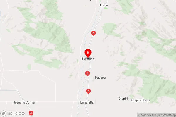
SouthlandBenmore Region Map
Coordinates
-45.98677,168.3322921 (latitude/longitude)Distances
The distance from Benmore, Otematata, Waitaki District to NZ Top 10 Cities