Deborah Suburbs & Region, Deborah Map & Postcodes in Deborah, Waitaki, Otago

Deborah Postcodes, Deborah ZipCodes, Deborah , Deborah Otago, Deborah Suburbs, Deborah Region, Deborah Map, Deborah Area

Deborah Region

  • Deborah Suburbs

    Deborah is a suburb place type in Waitaki, Otago, NZ. It contains 0 suburbs or localities.
  • Deborah Postcodes

    9401
  • Deborah district

    Waitaki
  • Deborah Region Map

    Deborah, Otago Region Map
  • Deborah Introduction

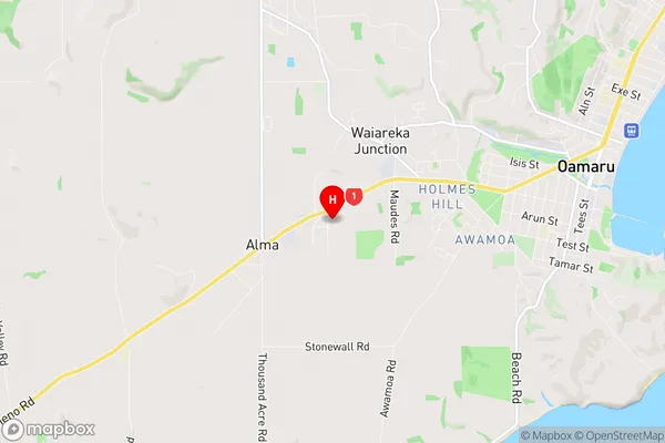
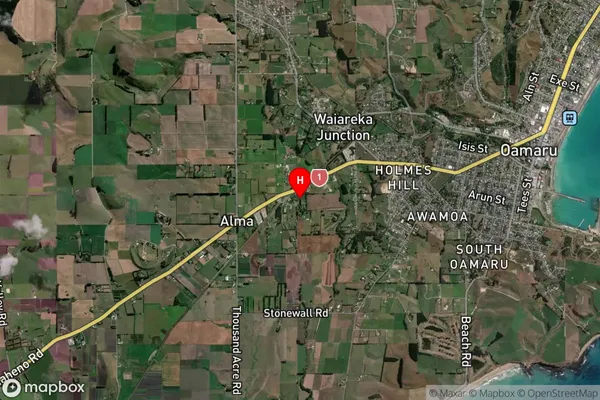
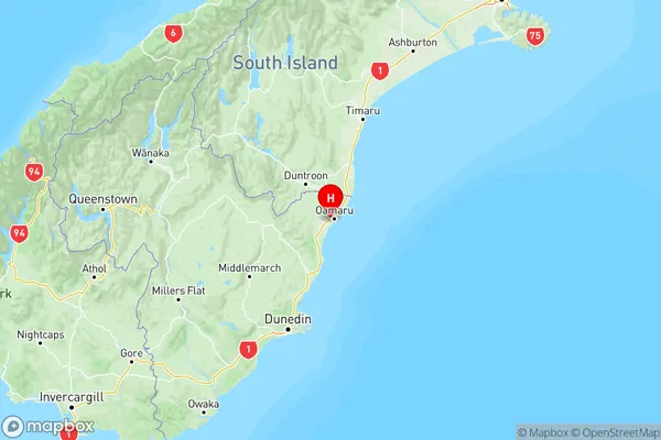
    Deborah is a small township in the Otago region of New Zealand. It is located on the banks of the Clutha River, approximately 30 kilometers south of Dunedin. The township was established in the 1860s and named after Deborah, the wife of a local landowner. It is a popular tourist destination and is known for its historic buildings, including the Deborah Hotel, which was built in 1886. The township also has a community hall, a primary school, and a post office. The surrounding area is known for its scenic beauty, including the Otago Peninsula and the Mount Cargill Range.
  • Deborah Region

  • Deborah City

  • Deborah Satellite Map

    Deborah, Otago Satellite Map
  • Full Address

    Deborah, Waitaki, Otago
  • Deborah Coordinates

    -45.105802,170.929149 (Latitude / Longitude)
  • Deborah Map in NZ

    Deborah, Otago Region Map
  • NZ Island

    South Island

Deborah Suburbs (Sort by Population)

Deborah Suburbs (Sort in alphabetical)