Tapanui Suburbs & Region, Tapanui Map & Postcodes in Tapanui, Clutha, Otago

Tapanui Postcodes, Tapanui ZipCodes, Tapanui , Tapanui Otago, Tapanui Suburbs, Tapanui Region, Tapanui Map, Tapanui Area

Tapanui Region

  • Tapanui Suburbs

    Tapanui is a city place type in Clutha, Otago, NZ. It contains 12 suburbs or localities.
  • Tapanui Postcodes

    95229542
  • Tapanui district

    Clutha
  • Tapanui Region Map

    Tapanui, Otago Region Map
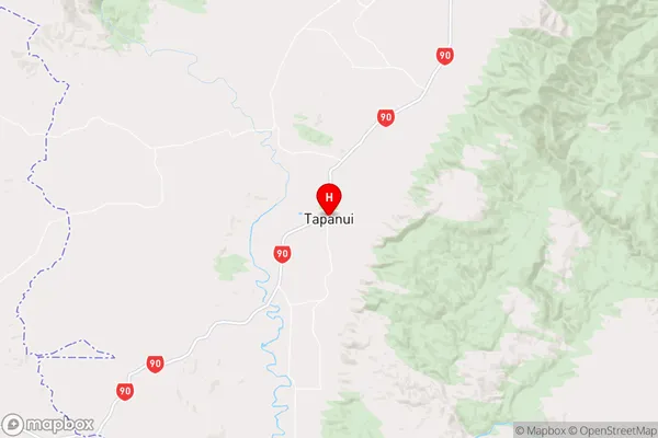
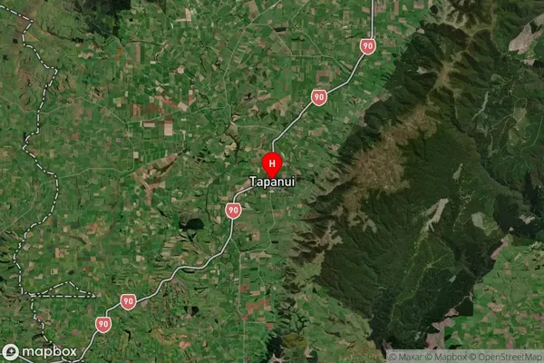
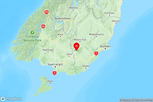
  • Tapanui Introduction

    Tapanui is a small town in Otago, New Zealand, located on the banks of the Tapanui River. It is known for its stunning natural scenery, including the Tapanui Gorge and the Blue Mountains. The town has a population of around 1,200 people and is a popular tourist destination, with many visitors coming to enjoy the outdoor activities on offer, such as hiking, mountain biking, and fishing. Tapanui also has a rich cultural heritage, with a number of historic buildings and sites, including the Tapanui Hotel, which is the oldest hotel in New Zealand.
  • Tapanui Region

  • Tapanui Satellite Map

    Tapanui, Otago Satellite Map
  • Full Address

    Tapanui, Clutha, Otago
  • Tapanui Coordinates

    -45.942517,169.261945 (Latitude / Longitude)
  • Tapanui Map in NZ

    Tapanui, Otago Region Map
  • NZ Island

    South Island
  • Tapanui Area Map (Polygon)

    Tapanui, Otago Polygon Area Map
  • Name

    Tapanui
  • Additional Name

  • Local Authority

    Clutha District

Tapanui Suburbs (Sort by Population)

Tapanui Suburbs (Sort in alphabetical)