Crookston Area, Crookston Postcode & Map in Crookston
Crookston Area, Crookston Postcode & Map in Crookston, Clutha District, New Zealand
Crookston, Clutha District, New Zealand
Crookston Area (estimated)
36.4 square kilometersCrookston Population (estimated)
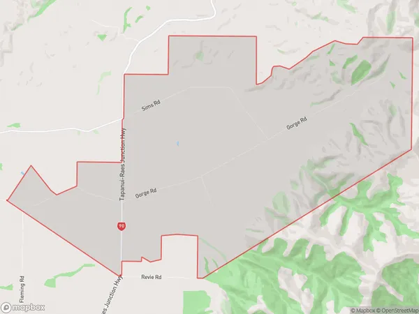
60 people live in Crookston, Otago, NZCrookston Suburb Area Map (Polygon)
Crookston Introduction
Crookston is a small town in the Tapanui district of Otago, New Zealand. It is located on the banks of the Tapanui River and is known for its scenic surroundings and rural charm. The town has a population of around 300 people and is a popular destination for tourists who enjoy hiking, fishing, and hunting.Region
Major City
Suburb Name
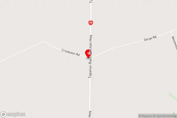
CrookstonCrookston Area Map (Street)
Local Authority
Clutha DistrictFull Address
Crookston, Clutha District, New ZealandAddress Type
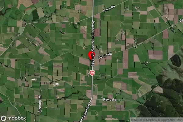
Locality in Town TapanuiCrookston Suburb Map (Satellite)
Country
Main Region in AU
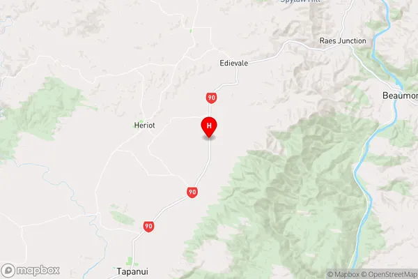
OtagoCrookston Region Map
Coordinates
-45.852104,169.3374467 (latitude/longitude)Distances
The distance from Crookston, Tapanui, Clutha District to NZ Top 10 Cities