Blue Mountains Area, Blue Mountains Postcode(5371) & Map in Blue Mountains
Blue Mountains Area, Blue Mountains Postcode(5371) & Map in Blue Mountains, Clutha District, New Zealand
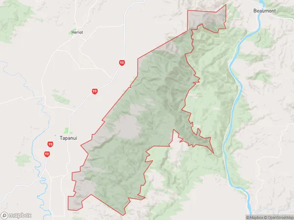
Blue Mountains, Clutha District, New Zealand
Blue Mountains Postcodes
Blue Mountains Area (estimated)
159.7 square kilometersBlue Mountains Population (estimated)
7 people live in Blue Mountains, Upper Hutt, NZBlue Mountains Suburb Area Map (Polygon)
Blue Mountains Introduction
The Blue Mountains are a mountain range located in the southern North Island of New Zealand, part of the Wellington Region. They are known for their stunning panoramic views, dense forests, and picturesque hiking trails. The range is a popular tourist destination and is home to a variety of wildlife, including native birds and the rare New Zealand kiwi.Region
Major City
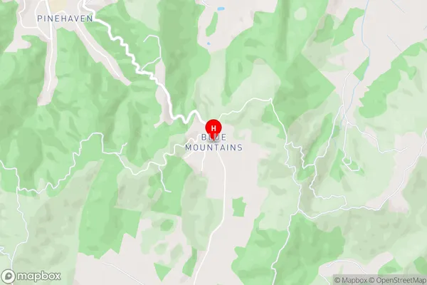
Suburb Name
Blue MountainsBlue Mountains Area Map (Street)
Local Authority
Clutha DistrictFull Address
Blue Mountains, Clutha District, New ZealandAddress Type
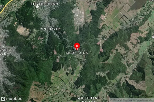
Locality in Town TapanuiBlue Mountains Suburb Map (Satellite)
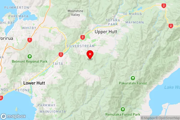
Country
Main Region in AU
WellingtonBlue Mountains Region Map
Coordinates
-41.172922,175.0336701 (latitude/longitude)Distances
The distance from Blue Mountains, Tapanui, Clutha District to NZ Top 10 Cities