Park Hill Area, Park Hill Postcode(9587) & Map in Park Hill
Park Hill Area, Park Hill Postcode(9587) & Map in Park Hill, Clutha District, New Zealand
Park Hill, Clutha District, New Zealand
Park Hill Postcodes
Park Hill Area (estimated)
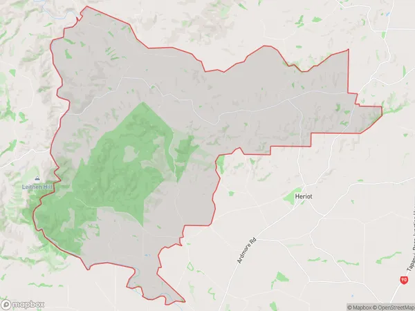
115.2 square kilometersPark Hill Population (estimated)
82 people live in Park Hill, Otago, NZPark Hill Suburb Area Map (Polygon)
Park Hill Introduction
Park Hill is a residential suburb of Tapanui, Otago, New Zealand. It is located on the southern side of the Tapanui River, approximately 10 kilometers from the city center of Dunedin. The suburb was developed in the 1950s and 1960s and is known for its spacious homes, tree-lined streets, and peaceful atmosphere. Park Hill has a variety of amenities, including a golf course, a swimming pool, and a community center. It is also home to several schools, including Tapanui Primary School and Tapanui High School.Region
Major City
Suburb Name
Park HillOther Name(s)
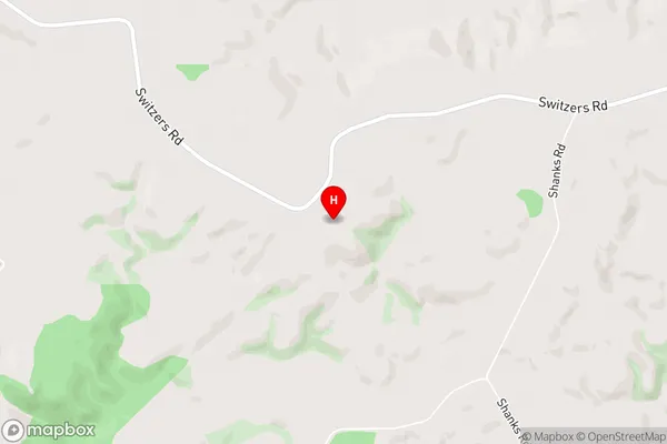
Dusky ForestPark Hill Area Map (Street)
Local Authority
Clutha DistrictFull Address
Park Hill, Clutha District, New ZealandAddress Type
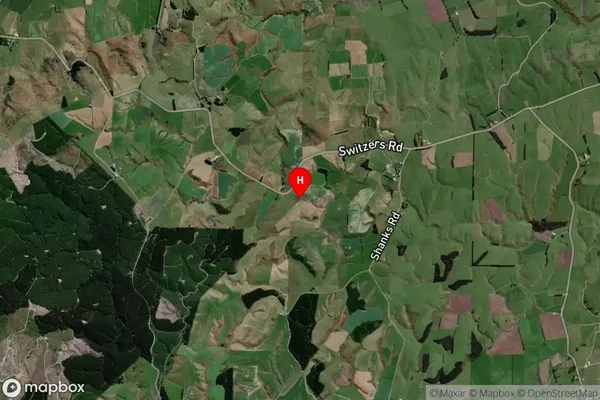
Locality in Town TapanuiPark Hill Suburb Map (Satellite)
Country
Main Region in AU
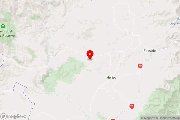
OtagoPark Hill Region Map
Coordinates
-45.814444,169.225361 (latitude/longitude)Distances
The distance from Park Hill, Tapanui, Clutha District to NZ Top 10 Cities