Dunrobin Area, Dunrobin Postcode & Map in Dunrobin
Dunrobin Area, Dunrobin Postcode & Map in Dunrobin, Clutha District, New Zealand
Dunrobin, Clutha District, New Zealand
Dunrobin Area (estimated)
37.8 square kilometersDunrobin Population (estimated)
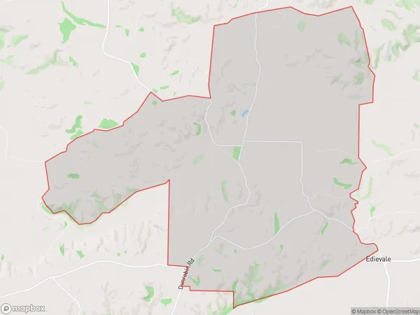
42 people live in Dunrobin, Otago, NZDunrobin Suburb Area Map (Polygon)
Dunrobin Introduction
Dunrobin is a small rural town located in the Tapanui district of Otago, New Zealand. It is known for its beautiful gardens, historic buildings, and stunning natural surroundings, including the Tapanui River and the Dunrobin Forest. The town has a population of around 1,200 people and is a popular tourist destination.Region
Major City
Suburb Name
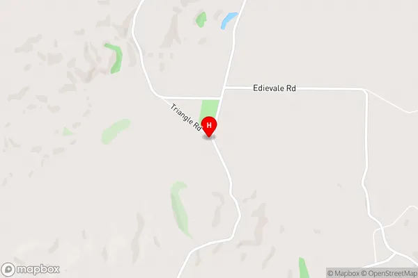
DunrobinDunrobin Area Map (Street)
Local Authority
Clutha DistrictFull Address
Dunrobin, Clutha District, New ZealandAddress Type
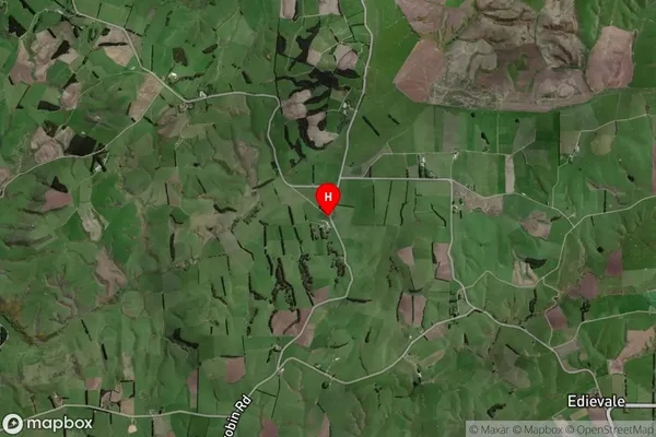
Locality in Town TapanuiDunrobin Suburb Map (Satellite)
Country
Main Region in AU
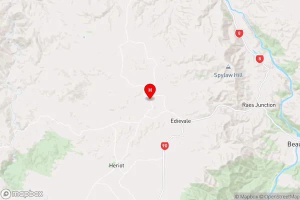
OtagoDunrobin Region Map
Coordinates
-45.7796307,169.319787 (latitude/longitude)Distances
The distance from Dunrobin, Tapanui, Clutha District to NZ Top 10 Cities