McEwens Bush Area, McEwens Bush Postcode & Map in McEwens Bush
McEwens Bush Area, McEwens Bush Postcode & Map in McEwens Bush, Clutha District,
McEwens Bush, Clutha District,
McEwens Bush Area (estimated)
117.5 square kilometersMcEwens Bush Population (estimated)
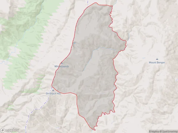
6 people live in McEwens Bush, Tapanui, NZMcEwens Bush Suburb Area Map (Polygon)
McEwens Bush Introduction
McEwens Bush is a small bush located in Tapanui, Otago, New Zealand. It is a popular spot for outdoor activities such as hiking, mountain biking, and picnicking. The bush is named after the McEwens family, who were early settlers in the area. The bush has a variety of plant and animal life, including native birds, rabbits, and deer. It is also home to a small cave system that is a popular tourist attraction.Region
Major City
Suburb Name
McEwens BushOther Name(s)
Mcewans BushMcEwens Bush Area Map (Street)
Local Authority
Clutha DistrictFull Address
McEwens Bush, Clutha District,Address Type
Locality in Town TapanuiMcEwens Bush Suburb Map (Satellite)
Country
Main Region in AU
OtagoMcEwens Bush Region Map
Coordinates
0,0 (latitude/longitude)Distances
The distance from McEwens Bush, Tapanui, Clutha District to NZ Top 10 Cities