Moa Flat Area, Moa Flat Postcode & Map in Moa Flat
Moa Flat Area, Moa Flat Postcode & Map in Moa Flat, Clutha District, New Zealand
Moa Flat, Clutha District, New Zealand
Moa Flat Area (estimated)
86.0 square kilometersMoa Flat Population (estimated)
52 people live in Moa Flat, Otago, NZMoa Flat Suburb Area Map (Polygon)
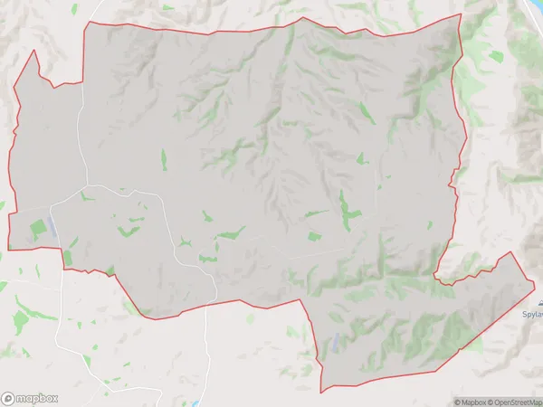
Moa Flat Introduction
Moa Flat is a small rural community in Tapanui, Otago, New Zealand. It is located on the banks of the Taieri River and is known for its scenic views and peaceful atmosphere. The community has a primary school, a post office, a convenience store, and a few housing units. Moa Flat is surrounded by farmland and is a popular destination for outdoor activities such as hiking, fishing, and hunting. The area has a rich history, with evidence of early Māori settlement and European colonization.Region
Major City
Suburb Name
Moa FlatMoa Flat Area Map (Street)

Local Authority
Clutha DistrictFull Address
Moa Flat, Clutha District, New ZealandAddress Type
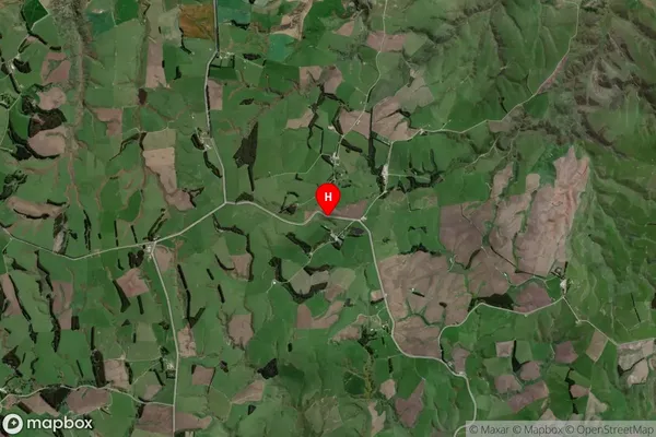
Locality in Town TapanuiMoa Flat Suburb Map (Satellite)
Country
Main Region in AU
OtagoMoa Flat Region Map
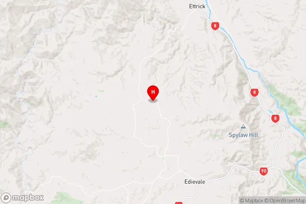
Coordinates
-45.7248019,169.3056893 (latitude/longitude)Distances
The distance from Moa Flat, Tapanui, Clutha District to NZ Top 10 Cities