Wilden Area, Wilden Postcode & Map in Wilden
Wilden Area, Wilden Postcode & Map in Wilden, Clutha District, New Zealand
Wilden, Clutha District, New Zealand
Wilden Area (estimated)
165.9 square kilometersWilden Population (estimated)
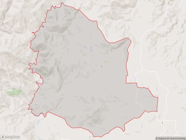
87 people live in Wilden, Otago, NZWilden Suburb Area Map (Polygon)
Wilden Introduction
Wilden is a small rural town in Otago, New Zealand, located on the banks of the Tapanui River. It is known for its scenic beauty, with rolling hills, lush green valleys, and picturesque farmland. The town has a population of around 1,000 people and is a popular destination for outdoor activities such as hiking, fishing, and hunting. It is also home to the Wilden School, a primary school with a strong focus on environmental education.Region
Major City
Suburb Name
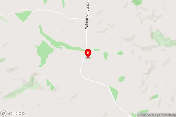
WildenWilden Area Map (Street)
Local Authority
Clutha DistrictFull Address
Wilden, Clutha District, New ZealandAddress Type
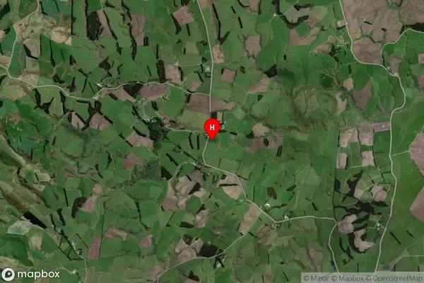
Locality in Town TapanuiWilden Suburb Map (Satellite)
Country
Main Region in AU
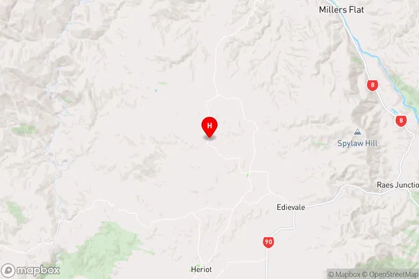
OtagoWilden Region Map
Coordinates
-45.7531471,169.2819209 (latitude/longitude)Distances
The distance from Wilden, Tapanui, Clutha District to NZ Top 10 Cities