Leithen Bush Area, Leithen Bush Postcode & Map in Leithen Bush
Leithen Bush Area, Leithen Bush Postcode & Map in Leithen Bush, Clutha District, New Zealand
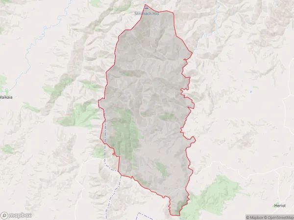
Leithen Bush, Clutha District, New Zealand
Leithen Bush Area (estimated)
226.6 square kilometersLeithen Bush Population (estimated)
36 people live in Leithen Bush, Otago, NZLeithen Bush Suburb Area Map (Polygon)
Leithen Bush Introduction
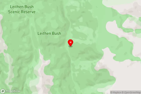
Leithen Bush is a large forest located in the Tapanui district of Otago, New Zealand. It is known for its scenic beauty, including a variety of plant and animal species, and is a popular destination for hiking, mountain biking, and picnicking. The bush is also home to a variety of historical sites, including the ruins of a gold mining settlement and a former military fort.Region
Major City
Suburb Name
Leithen BushLeithen Bush Area Map (Street)
Local Authority
Clutha DistrictFull Address
Leithen Bush, Clutha District, New ZealandAddress Type
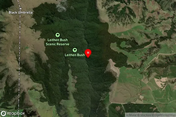
Locality in Town TapanuiLeithen Bush Suburb Map (Satellite)
Country
Main Region in AU
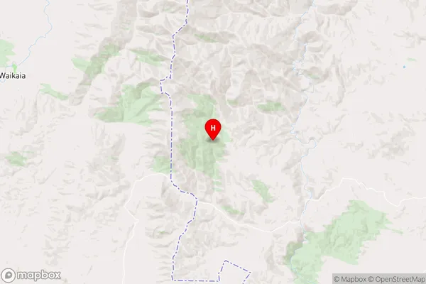
OtagoLeithen Bush Region Map
Coordinates
-45.77012255,169.044202524745 (latitude/longitude)Distances
The distance from Leithen Bush, Tapanui, Clutha District to NZ Top 10 Cities