Kelso Area, Kelso Postcode(9522) & Map in Kelso
Kelso Area, Kelso Postcode(9522) & Map in Kelso, Clutha District, New Zealand
Kelso, Clutha District, New Zealand
Kelso Postcodes
Kelso Area (estimated)
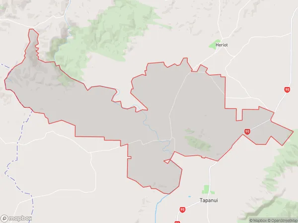
108.7 square kilometersKelso Population (estimated)
163 people live in Kelso, Otago, NZKelso Suburb Area Map (Polygon)
Kelso Introduction
Kelso is a small town in Otago, New Zealand, located on the banks of the Clutha River. It is known for its historic buildings, including the Kelso Castle and the Kelso Baptist Church. The town has a population of around 1,200 people and is a popular tourist destination, particularly for its scenic surroundings and outdoor activities such as hiking, fishing, and cycling.Region
Major City
Suburb Name
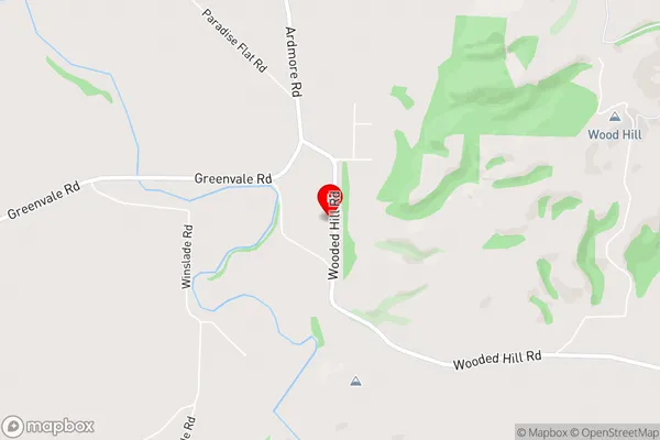
KelsoKelso Area Map (Street)
Local Authority
Clutha DistrictFull Address
Kelso, Clutha District, New ZealandAddress Type
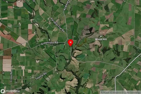
Locality in Town TapanuiKelso Suburb Map (Satellite)
Country
Main Region in AU
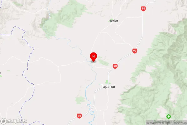
OtagoKelso Region Map
Coordinates
-45.9059874,169.230145 (latitude/longitude)Distances
The distance from Kelso, Tapanui, Clutha District to NZ Top 10 Cities