Heriot Area, Heriot Postcode & Map in Heriot
Heriot Area, Heriot Postcode & Map in Heriot, Clutha District, New Zealand
Heriot, Clutha District, New Zealand
Heriot Area (estimated)
58.4 square kilometersHeriot Population (estimated)
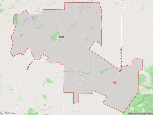
221 people live in Heriot, Otago, NZHeriot Suburb Area Map (Polygon)
Heriot Introduction
Heriot is a small town in Otago, New Zealand, located on the banks of the Clutha River. It is known for its historic buildings, including the Heriot Hotel, and for its scenic surroundings, including the nearby Mount Cargill and the Tapanui Gorge. The town has a population of around 1,000 people and is a popular tourist destination.Region
Major City
Suburb Name
HeriotOther Name(s)
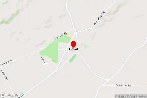
Black GullyHeriot Area Map (Street)
Local Authority
Clutha DistrictFull Address
Heriot, Clutha District, New ZealandAddress Type
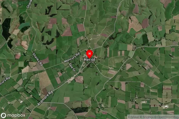
Locality in Town TapanuiHeriot Suburb Map (Satellite)
Country
Main Region in AU
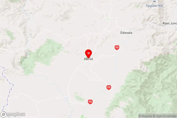
OtagoHeriot Region Map
Coordinates
-45.8422848,169.2738026 (latitude/longitude)Distances
The distance from Heriot, Tapanui, Clutha District to NZ Top 10 Cities