Edievale Area, Edievale Postcode & Map in Edievale
Edievale Area, Edievale Postcode & Map in Edievale, Clutha District, New Zealand
Edievale, Clutha District, New Zealand
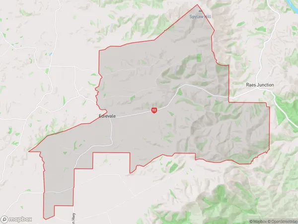
Edievale Area (estimated)
77.1 square kilometersEdievale Population (estimated)
60 people live in Edievale, Otago, NZEdievale Suburb Area Map (Polygon)
Edievale Introduction
Edievale is a small rural town located in the Tapanui district of Otago, New Zealand. It is situated on the banks of the Clutha River and is known for its beautiful scenery, historic buildings, and friendly community. The town has a population of around 300 people and is home to a variety of businesses, including a hotel, a supermarket, and a primary school. Edievale is also a popular destination for outdoor activities such as hiking, fishing, and hunting.Region
Major City
Suburb Name
EdievaleOther Name(s)
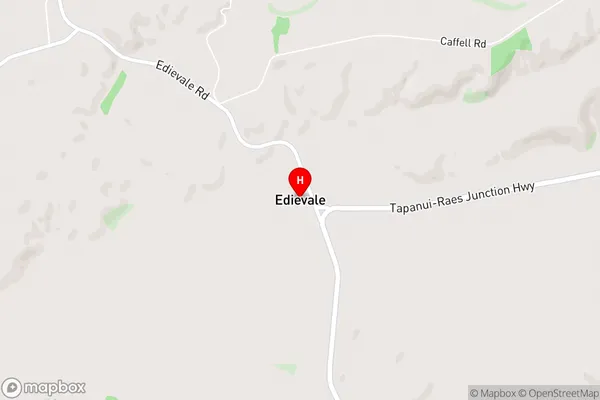
Mathesons CornerEdievale Area Map (Street)
Local Authority
Clutha DistrictFull Address
Edievale, Clutha District, New ZealandAddress Type
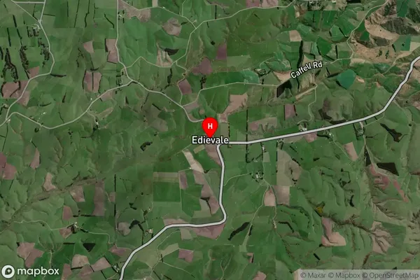
Locality in Town TapanuiEdievale Suburb Map (Satellite)
Country
Main Region in AU
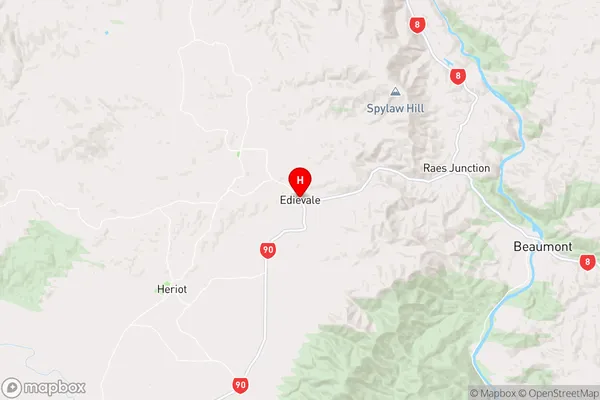
OtagoEdievale Region Map
Coordinates
-45.7996502,169.361862 (latitude/longitude)Distances
The distance from Edievale, Tapanui, Clutha District to NZ Top 10 Cities