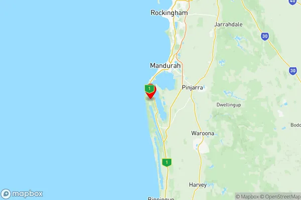
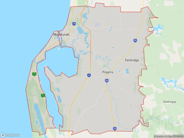
Mandurah Suburbs & Region, Mandurah Map & Postcodes
Mandurah Suburbs & Region, Mandurah Map & Postcodes in Mandurah, WA, AU
Mandurah Region
Region Name
Mandurah (WA, AU)Mandurah Area
1033 square kilometers (1,033 ㎢)Postal Codes
6180, 6181, from 6208 to 6211, and 6214 (In total, there are 7 postcodes in Mandurah.)Mandurah Introduction
Mandurah is a coastal city in Western Australia, located 75 km south of Perth, and is known for its beautiful beaches, vibrant culture, and outdoor activities. The city has a population of over 70,000 people and is home to a number of popular attractions, including the Mandurah Marina, Peel Thunder Stadium, and the Mandurah Performing Arts Center. The city is also a popular destination for fishing, boating, and swimming, with several beaches and parks nearby. Mandurah is surrounded by natural beauty, with the Peel Inlet and the Indian Ocean providing a stunning backdrop to the city.Australia State
City or Big Region
District or Regional Area
Mandurah Region Map

Mandurah Postcodes / Zip Codes
Mandurah Suburbs
Dawesville Bouvard
Falcon Wannanup
Greenfields
Halls Head Erskine
Mandurah
Mandurah East
Mandurah North
Mandurah South
Mandurah full address
Mandurah, Western Australia, WA, Australia, SaCode: 50201Country
Mandurah, Western Australia, WA, Australia, SaCode: 50201
Mandurah Suburbs & Region, Mandurah Map & Postcodes has 9 areas or regions above, and there are 47 Mandurah suburbs below. The sa3code for the Mandurah region is 50201. Its latitude and longitude coordinates are -32.6898,115.64.
Mandurah Suburbs & Localities
1. Stake Hill
2. Meelon
3. Lakelands
4. Nirimba
5. Point Grey
6. Barragup
7. Bouvard
8. Blythewood
9. Oakley
10. Coodanup
11. Dudley Park
12. Pinjarra
13. Barragup
14. Falcon
15. Furnissdale
16. Greenfields
17. Halls Head
18. Mandurah North
19. Silver Sands
20. Mandurah Dc
21. Meadow Springs
22. Coolup
23. Stake Hill
24. Clifton
25. Birchmont
26. Fairbridge
27. Clifton
28. San Remo
29. Dawesville
30. Herron
31. Parklands
32. North Yunderup
33. Ravenswood
34. South Yunderup
35. West Pinjarra
36. Furnissdale
37. Dawesville
38. Erskine
39. Herron
40. Lakelands
41. Madora Bay
42. Mandurah
43. Mandurah East
44. Parklands
45. Wannanup
46. Bouvard
47. West Coolup
