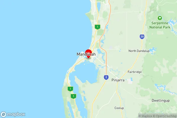
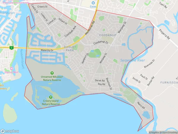
Mandurah South Suburbs & Region, Mandurah South Map & Postcodes
Mandurah South Suburbs & Region, Mandurah South Map & Postcodes in Mandurah South, Mandurah, WA, AU
Mandurah South Region
Region Name
Mandurah South (WA, AU)Mandurah South Area
11.83 square kilometers (11.83 ㎢)Postal Codes
6210 (In total, there are 1 postcodes in Mandurah South.)Mandurah South Introduction
Mandurah South is a suburb of Mandurah, a city in Western Australia, and is located 72 kilometers south of Perth, the state capital. The suburb is part of the City of Mandurah local government area and is known for its beautiful beaches, parks, and recreational facilities. It is a popular destination for tourists and locals alike, with many attractions such as the Mandurah Ocean Marina, Peel Zoo, and the Mandurah Foreshore. The suburb has a population of around 20,000 people and is growing rapidly due to its attractive location and quality of life.Australia State
City or Big Region
Greater Capital City
Greater Perth (5GPER)District or Regional Area
Suburb Name
Mandurah South Region Map

Mandurah South Postcodes / Zip Codes
Mandurah South Suburbs
Mandurah South full address
Mandurah South, Mandurah, Western Australia, WA, Australia, SaCode: 502011028Country
Mandurah South, Mandurah, Western Australia, WA, Australia, SaCode: 502011028
Mandurah South Suburbs & Region, Mandurah South Map & Postcodes has 0 areas or regions above, and there are 4 Mandurah South suburbs below. The sa2code for the Mandurah South region is 502011028. Its latitude and longitude coordinates are -32.5492,115.732. Mandurah South area belongs to Australia's greater capital city Greater Perth.
Mandurah South Suburbs & Localities
1. Coodanup
2. Dudley Park
3. Mandurah
4. Mandurah East
