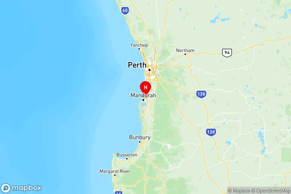
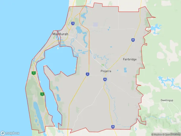
Mandurah Suburbs & Region, Mandurah Map & Postcodes
Mandurah Suburbs & Region, Mandurah Map & Postcodes in Mandurah, WA, AU
Mandurah Region
Region Name
Mandurah (WA, AU)Mandurah Area
1033 square kilometers (1,033 ㎢)Postal Codes
6180, 6181, from 6208 to 6211, and 6214 (In total, there are 7 postcodes in Mandurah.)Mandurah Introduction
Mandurah is a coastal city in Western Australia, located 75 kilometers (47 mi) south of Perth, the state capital. It is part of the Peel Region and has a population of around 70,000 people. The city is known for its beautiful beaches, including Mandurah Beach, which is one of the largest in Western Australia. It is also home to a number of attractions, including the Mandurah Performing Arts Center, the Peel Zoo, and the Mandurah Marina. The city is surrounded by natural beauty, including the Peel Inlet and the Darling Range, and is a popular destination for outdoor activities such as fishing, swimming, and hiking.Australia State
City or Big Region
Mandurah Region Map

Mandurah Postcodes / Zip Codes
Mandurah Suburbs
Mandurah
Mandurah full address
Mandurah, Western Australia, WA, Australia, SaCode: 502Country
Mandurah, Western Australia, WA, Australia, SaCode: 502
Mandurah Suburbs & Region, Mandurah Map & Postcodes has 1 areas or regions above, and there are 47 Mandurah suburbs below. The sa4code for the Mandurah region is 502. Its latitude and longitude coordinates are -32.4727,115.771.
Mandurah Suburbs & Localities
1. Bouvard
2. Clifton
3. Barragup
4. North Yunderup
5. Stake Hill
6. Lakelands
7. Coolup
