Barragup Area, Barragup Postcode(6209) & Map in Barragup, Mandurah, WA
Barragup Area, Barragup Postcode(6209) & Map in Barragup, Mandurah, WA, AU, Postcode: 6209
Barragup, Mandurah - East, Mandurah, Mandurah, Western Australia, Australia, 6209
Barragup Postcode
Area Name
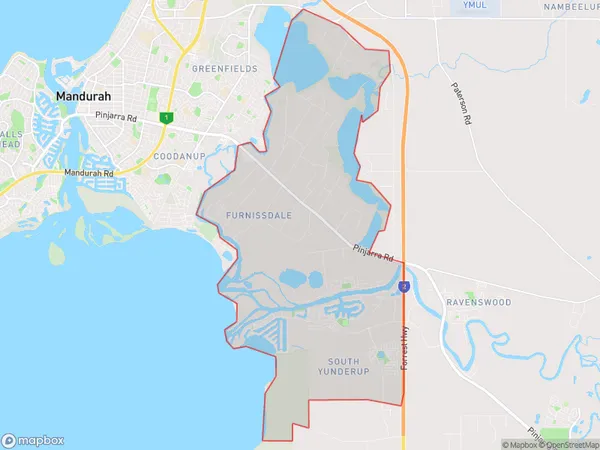
BarragupBarragup Suburb Area Map (Polygon)

Barragup Introduction
Barragup is a small rural town located in the Shire of Murray, approximately 25 kilometers south of Mandurah, Western Australia. It is known for its beautiful natural surroundings, including the Barragup National Park and the Barragup Nature Reserve. The town has a population of around 1,000 people and is surrounded by farmland and natural bushland. It is a popular destination for outdoor enthusiasts, with many walking and hiking trails and a range of recreational facilities.State Name
City or Big Region
District or Regional Area
Suburb Name
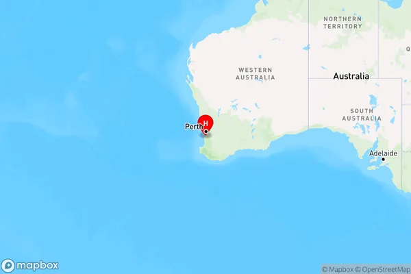
Barragup Region Map

Country
Main Region in AU
R2Coordinates
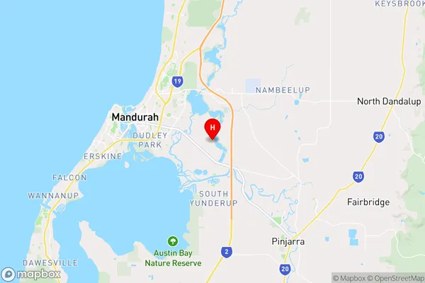
-32.5502,115.796 (latitude/longitude)Barragup Area Map (Street)

Longitude
115.728286Latitude
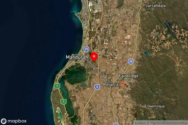
-32.557981Barragup Suburb Map (Satellite)

Distances
The distance from Barragup, Mandurah, WA to AU Greater Capital CitiesSA1 Code 2011
50201102601SA1 Code 2016
50201102601SA2 Code
502011026SA3 Code
50201SA4 Code
502RA 2011
1RA 2016
1MMM 2015
1MMM 2019
1Charge Zone
W1LGA Region
MandurahLGA Code
55110Electorate
Canning