Lakelands Area, Lakelands Postcode(6180) & Map in Lakelands, Mandurah, WA
Lakelands Area, Lakelands Postcode(6180) & Map in Lakelands, Mandurah, WA, AU, Postcode: 6180
Lakelands, Mandurah - North, Mandurah, Mandurah, Western Australia, Australia, 6180
Lakelands Postcode
Area Name
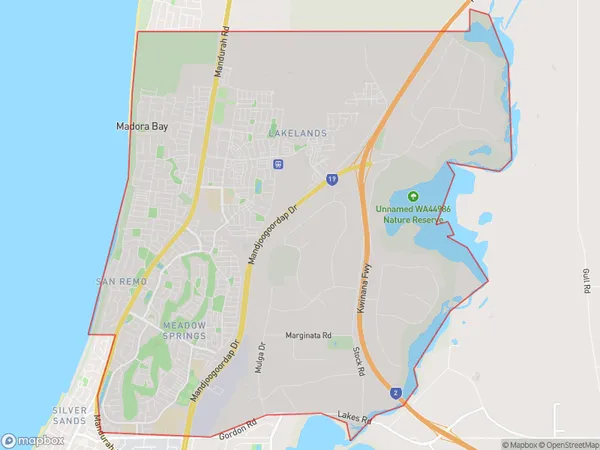
LakelandsLakelands Suburb Area Map (Polygon)

Lakelands Introduction
Lakelands is a suburb of Mandurah, located in the Peel region of Western Australia. It is a popular residential area known for its peaceful atmosphere, scenic parks, and proximity to the ocean. The suburb has a variety of housing options, including single-family homes, apartments, and townhouses. It also has several shopping centers, restaurants, and recreational facilities, including a golf course and a swimming pool. Lakelands is a great place to live for families and individuals who enjoy a relaxed lifestyle.State Name
City or Big Region
District or Regional Area
Suburb Name
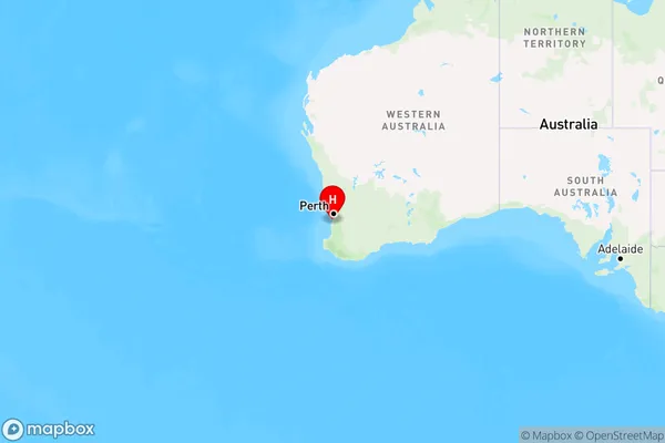
Lakelands Region Map

Country
Main Region in AU
R2Coordinates
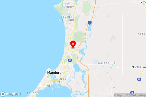
-32.4727097,115.7707088 (latitude/longitude)Lakelands Area Map (Street)

Longitude
115.728286Latitude
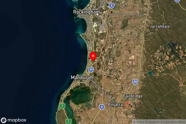
-32.557981Lakelands Suburb Map (Satellite)

Distances
The distance from Lakelands, Mandurah, WA to AU Greater Capital CitiesSA1 Code 2011
50201102704SA1 Code 2016
50201102742SA2 Code
502011027SA3 Code
50201SA4 Code
502RA 2011
1RA 2016
1MMM 2015
1MMM 2019
1Charge Zone
W1LGA Region
MandurahLGA Code
55110Electorate
Canning