Parklands Area, Parklands Postcode(6180) & Map in Parklands, Mandurah, WA
Parklands Area, Parklands Postcode(6180) & Map in Parklands, Mandurah, WA, AU, Postcode: 6180
Parklands, Mandurah - North, Mandurah, Mandurah, Western Australia, Australia, 6180
Parklands Postcode
Area Name
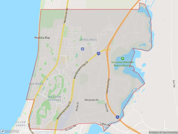
ParklandsParklands Suburb Area Map (Polygon)

Parklands Introduction
Parklands is a residential suburb of Mandurah, located 20 kilometers south of Perth's central business district, and is part of the City of Mandurah. The suburb has a variety of housing styles, including single-family homes, duplexes, and apartments. It is home to several parks and recreational facilities, including the Parklands Sports Complex, which includes a swimming pool, tennis courts, and a basketball court. The suburb also has a shopping center, a medical center, and a variety of restaurants and cafes.State Name
City or Big Region
District or Regional Area
Suburb Name
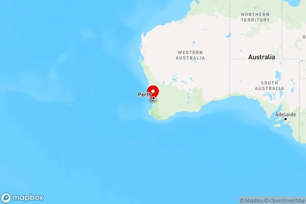
Parklands Region Map

Country
Main Region in AU
R2Coordinates
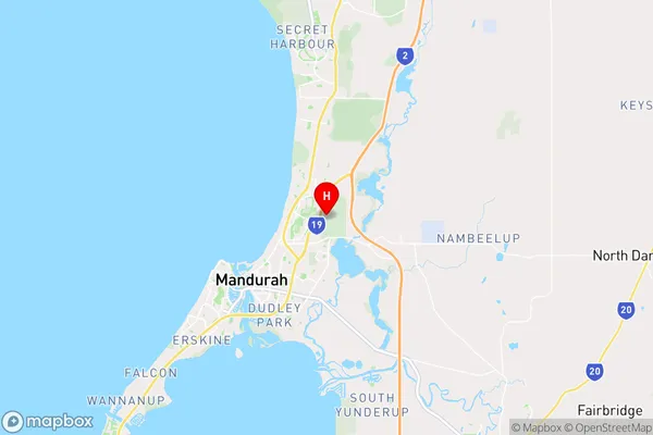
-32.4970306,115.7682565 (latitude/longitude)Parklands Area Map (Street)

Longitude
115.728286Latitude
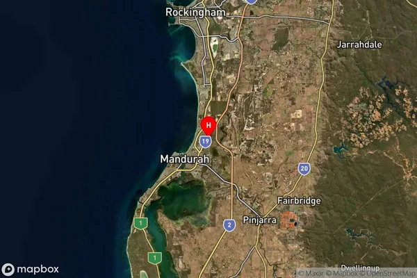
-32.557981Parklands Suburb Map (Satellite)

Distances
The distance from Parklands, Mandurah, WA to AU Greater Capital CitiesSA1 Code 2011
50201102708SA1 Code 2016
50201102708SA2 Code
502011027SA3 Code
50201SA4 Code
502RA 2011
1RA 2016
1MMM 2015
1MMM 2019
1Charge Zone
W1LGA Region
MandurahLGA Code
55110Electorate
Canning