Blythewood Area, Blythewood Postcode(6208) & Map in Blythewood, Mandurah, WA
Blythewood Area, Blythewood Postcode(6208) & Map in Blythewood, Mandurah, WA, AU, Postcode: 6208
Blythewood, Pinjarra, Mandurah, Mandurah, Western Australia, Australia, 6208
Blythewood Postcode
Area Name
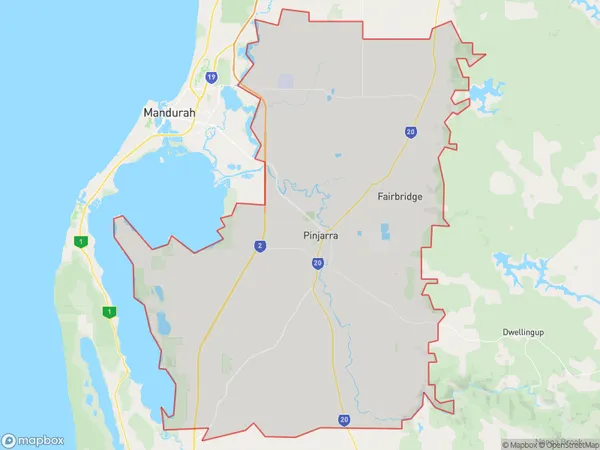
BlythewoodBlythewood Suburb Area Map (Polygon)
State Name
City or Big Region
District or Regional Area
Suburb Name
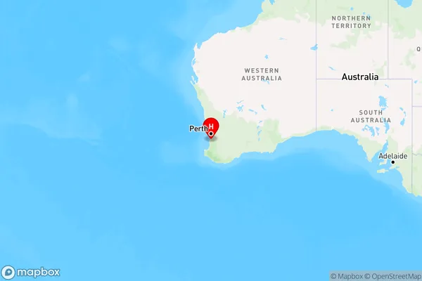
Blythewood Region Map
Country
Main Region in AU
R2Coordinates
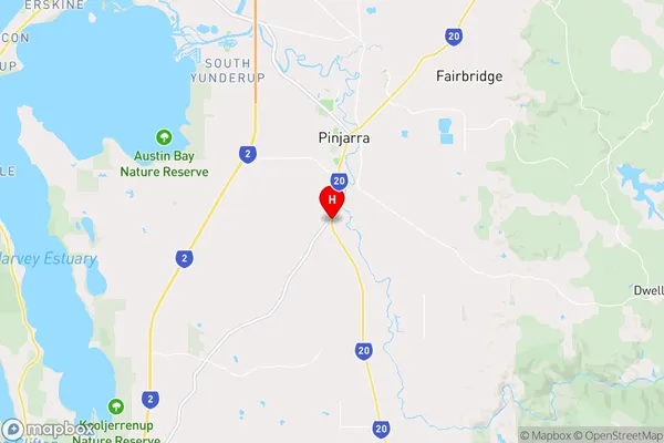
-32.6756161,115.8618763 (latitude/longitude)Blythewood Area Map (Street)
Longitude
115.847592Latitude
-32.630616Blythewood Elevation
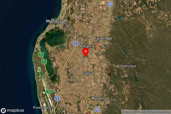
about 8.48 meters height above sea level (Altitude)Blythewood Suburb Map (Satellite)
Distances
The distance from Blythewood, Mandurah, WA to AU Greater Capital CitiesSA1 Code 2011
50201102913SA1 Code 2016
50201102913SA2 Code
502011029SA3 Code
50201SA4 Code
502RA 2011
2RA 2016
2MMM 2015
5MMM 2019
2Charge Zone
W1LGA Region
MurrayLGA Code
56230Electorate
Canning