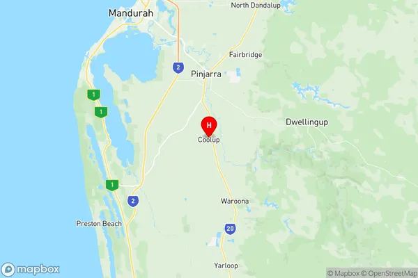
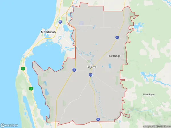
Pinjarra Suburbs & Region, Pinjarra Map & Postcodes
Pinjarra Suburbs & Region, Pinjarra Map & Postcodes in Pinjarra, Mandurah, WA, AU
Pinjarra Region
Region Name
Pinjarra (WA, AU)Pinjarra Area
808.86 square kilometers (808.86 ㎢)Postal Codes
6207, 6208, and 6214 (In total, there are 3 postcodes in Pinjarra.)Pinjarra Introduction
Pinjarra is a small town in the Peel region of Western Australia, located approximately 45 kilometers southeast of Perth and 10 kilometers north of Mandurah. It is known for its beautiful natural surroundings, including the Pinjarra National Park, which is home to a variety of plant and animal species. The town has a population of around 10,000 people and is a popular destination for tourists and locals alike. It is also home to several wineries and a golf course, making it a popular recreational area.Australia State
City or Big Region
Greater Capital City
Greater Perth (5GPER)District or Regional Area
Suburb Name
Pinjarra Region Map

Pinjarra Postcodes / Zip Codes
Pinjarra Suburbs
Pinjarra full address
Pinjarra, Mandurah, Western Australia, WA, Australia, SaCode: 502011029Country
Pinjarra, Mandurah, Western Australia, WA, Australia, SaCode: 502011029
Pinjarra Suburbs & Region, Pinjarra Map & Postcodes has 0 areas or regions above, and there are 14 Pinjarra suburbs below. The sa2code for the Pinjarra region is 502011029. Its latitude and longitude coordinates are -32.74,115.875. Pinjarra area belongs to Australia's greater capital city Greater Perth.
Pinjarra Suburbs & Localities
1. Meelon
2. Nirimba
3. Point Grey
4. Blythewood
5. Oakley
6. Pinjarra
7. Coolup
8. Birchmont
9. Nambeelup
10. North Dandalup
11. Fairbridge
12. Ravenswood
13. West Pinjarra
14. West Coolup
