San Remo Area, San Remo Postcode(6210) & Map in San Remo, Mandurah, WA
San Remo Area, San Remo Postcode(6210) & Map in San Remo, Mandurah, WA, AU, Postcode: 6210
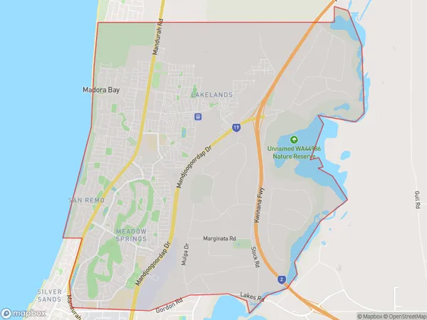
San Remo, Mandurah - North, Mandurah, Mandurah, Western Australia, Australia, 6210
San Remo Postcode
Area Name
San RemoSan Remo Suburb Area Map (Polygon)
San Remo Introduction
San Remo is a coastal suburb of Mandurah, Western Australia, located 72 kilometers south of Perth. It is known for its beaches, including Silver Sands Beach, which is popular for swimming, surfing, and fishing. San Remo also has a marina, a shopping center, and a variety of restaurants and cafes.State Name
City or Big Region
District or Regional Area
Suburb Name
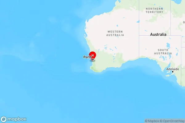
San Remo Region Map
Country
Main Region in AU
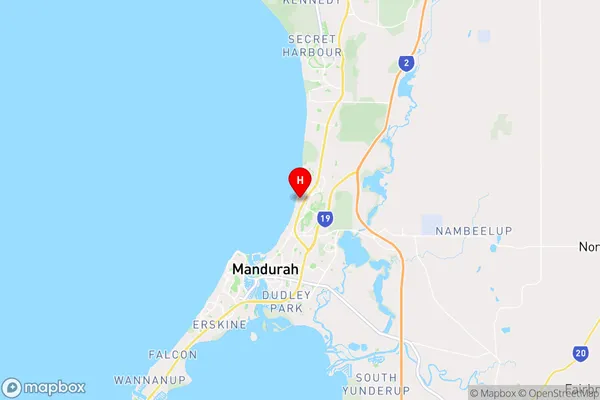
R2Coordinates
-32.4901849,115.7447909 (latitude/longitude)San Remo Area Map (Street)
Longitude
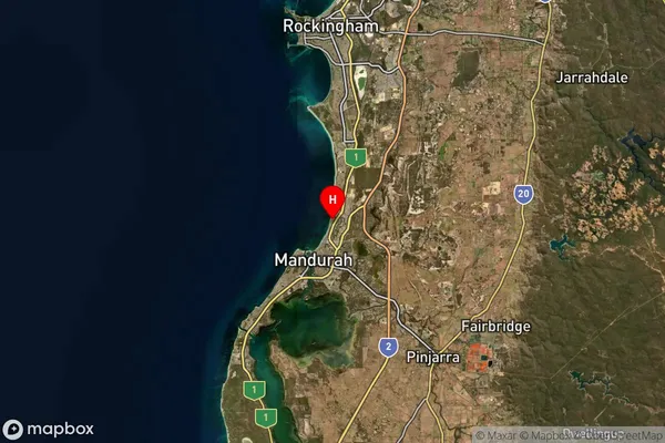
115.728286Latitude
-32.557981San Remo Suburb Map (Satellite)
Distances
The distance from San Remo, Mandurah, WA to AU Greater Capital CitiesSA1 Code 2011
50201102721SA1 Code 2016
50201102717SA2 Code
502011027SA3 Code
50201SA4 Code
502RA 2011
1RA 2016
1MMM 2015
1MMM 2019
1Charge Zone
W1LGA Region
MandurahLGA Code
55110Electorate
Canning