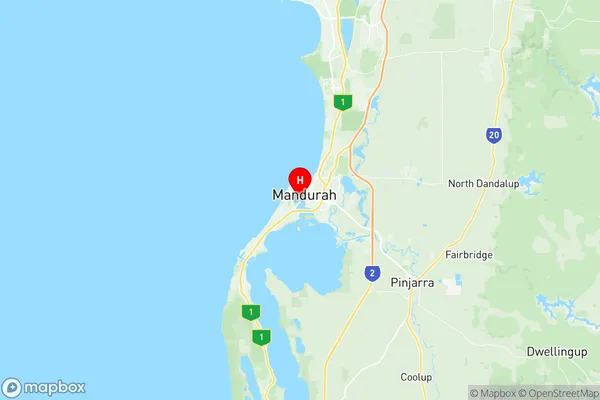
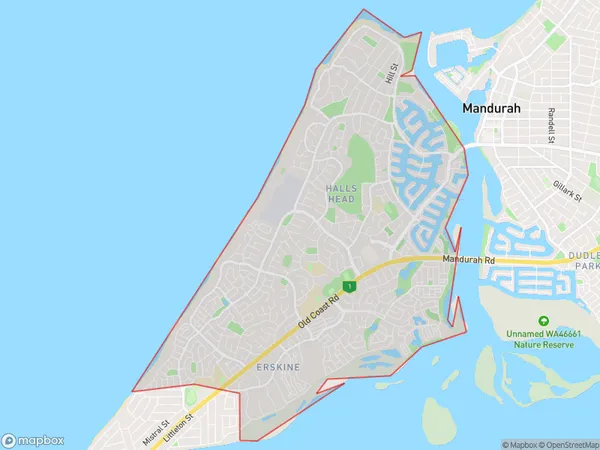
Halls Head Erskine Suburbs & Region, Halls Head Erskine Map & Postcodes
Halls Head Erskine Suburbs & Region, Halls Head Erskine Map & Postcodes in Halls Head Erskine, Mandurah, WA, AU
Halls Head Erskine Region
Region Name
Halls Head Erskine (WA, AU)Halls Head Erskine Area
14.25 square kilometers (14.25 ㎢)Postal Codes
6210 (In total, there are 1 postcodes in Halls Head Erskine.)Halls Head Erskine Introduction
Halls Head Erskine is a coastal suburb of Mandurah, Western Australia, AU. It is located in the City of Mandurah local government area. The suburb is named after the headland that forms its western boundary. Halls Head is a popular tourist destination due to its stunning beaches, crystal-clear waters, and picturesque scenery. The suburb has a number of parks and reserves, including the Halls Head Reserve, which features a picnic area, walking trails, and a playground. There are also a number of cafes and restaurants in the area, as well as a convenience store and a medical center.Australia State
City or Big Region
Greater Capital City
Greater Perth (5GPER)District or Regional Area
Suburb Name
Halls Head Erskine Region Map

Halls Head Erskine Postcodes / Zip Codes
Halls Head Erskine Suburbs
Halls Head Erskine full address
Halls Head Erskine, Mandurah, Western Australia, WA, Australia, SaCode: 502011024Country
Halls Head Erskine, Mandurah, Western Australia, WA, Australia, SaCode: 502011024
Halls Head Erskine Suburbs & Region, Halls Head Erskine Map & Postcodes has 0 areas or regions above, and there are 2 Halls Head Erskine suburbs below. The sa2code for the Halls Head Erskine region is 502011024. Its latitude and longitude coordinates are -32.5363,115.715. Halls Head Erskine area belongs to Australia's greater capital city Greater Perth.
Halls Head Erskine Suburbs & Localities
1. Halls Head
2. Erskine
