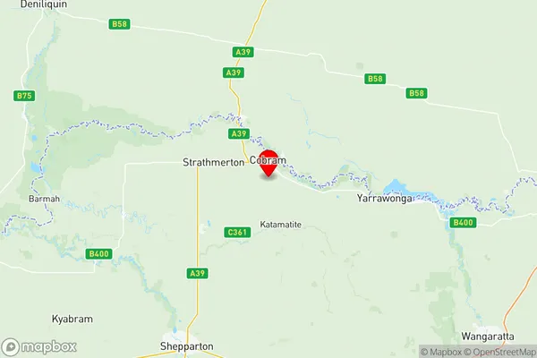
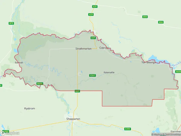
Moira Suburbs & Region, Moira Map & Postcodes
Moira Suburbs & Region, Moira Map & Postcodes in Moira, Shepparton, VIC, AU
Moira Region
Region Name
Moira (VIC, AU)Moira Area
4046 square kilometers (4,046 ㎢)Postal Codes
2712, 2714, from 3635 to 3641, 3643, 3644, 3649, 3675, 3678, 3685, 3727, 3728, and 3730 (In total, there are 18 postcodes in Moira.)Moira Introduction
Moira is a township in the Goulburn Valley region of Victoria, Australia. It is located 165 kilometers north-east of Melbourne and 10 kilometers south-west of Shepparton. The town is named after the Moira River, which flows through it. The population of Moira was 10,509 at the 2016 census. The town has a number of amenities, including a supermarket, a hospital, a primary school, a secondary school, a golf course, and a number of parks and reserves. The Moira Shire is a major agricultural area, with the town serving as a hub for the local farming community. The town is also home to a number of manufacturing businesses, including a dairy processing plant and a timber processing plant. The Moira River is a popular recreational spot, with a number of walking and cycling trails along its banks. The river is also home to a number of species of fish, including trout, salmon, and bass. The town is surrounded by a number of picturesque wineries, with the Moira Valley Wine Region being a major tourist attraction.Australia State
City or Big Region
District or Regional Area
Moira Region Map

Moira Postcodes / Zip Codes
Moira Suburbs
Tocumwal Finley Jerilderie
Benalla Region
Rutherglen
Wangaratta
Chiltern Indigo Valley
Yarrawonga
Moira full address
Moira, Shepparton, Victoria, VIC, Australia, SaCode: 21602Country
Moira, Shepparton, Victoria, VIC, Australia, SaCode: 21602
Moira Suburbs & Region, Moira Map & Postcodes has 9 areas or regions above, and there are 113 Moira suburbs below. The sa3code for the Moira region is 21602. Its latitude and longitude coordinates are -35.9667,145.65.
Moira Suburbs & Localities
1. Boomanoomana
2. Aratula
3. Pine Lodge
4. Tuppal
5. Tocumwal
6. Berrigan
7. Naring
8. Barmah
9. Cobram East
10. Muckatah
11. Invergordon
12. Numurkah
13. Waaia
14. Boweya
15. Glenrowan
16. Greta South
17. Hansonville
18. Bobinawarrah
19. Boorhaman East
20. East Wangaratta
21. North Wangaratta
22. Peechelba
23. Wangandary
24. Wangaratta South
25. Boorhaman North
26. Dugays Bridge
27. Gooramadda
28. Katamatite
29. Katamatite East
30. Boweya North
31. Mount Bruno
32. Bowser
33. Byawatha
34. Docker
35. Dockers Plains
36. Killawarra
37. Laceby
38. Milawa
39. Oxley
40. Wabonga
41. Waldara
42. Great Southern
43. Prentice North
44. Almonds
45. Burramine
46. Burramine South
47. Esmond
48. Tungamah
49. Wilby
50. Youarang
51. Yarrawonga
52. Drumanure
53. Yalca
54. Lower Moira
55. Picola West
56. Bearii
57. Mywee
58. Strathmerton
59. Ulupna
60. Cobram
61. Cobram
62. Lalalty
63. Yarroweyah
64. Kaarimba
65. Mundoona
66. Wunghnu
67. Glenrowan West
68. Greta
69. Taminick
70. Boorhaman
71. Carboor
72. Cheshunt
73. Edi
74. Everton
75. Londrigan
76. Markwood
77. Oxley Flats
78. Peechelba East
79. Rose River
80. Whitlands
81. Brimin
82. Lake Moodemere
83. Rutherglen
84. Kotupna
85. Nathalia
86. Yielima
87. Picola
88. Katunga
89. Barooga
90. Koonoomoo
91. Greta West
92. Cheshunt South
93. Edi Upper
94. Everton Upper
95. King Valley
96. Meadow Creek
97. Tarrawingee
98. Wangaratta Forward
99. Browns Plains
100. Carlyle
101. Norong Central
102. Yundool
103. Boomahnoomoonah
104. Bathumi
105. Boosey
106. Bundalong
107. Bundalong South
108. Lake Rowan
109. Pelluebla
110. St James
111. Waggarandall
112. Telford
113. Yarrawonga South
