Waldara Area, Waldara Postcode(3678) & Map in Waldara, Hume, VIC
Waldara Area, Waldara Postcode(3678) & Map in Waldara, Hume, VIC, AU, Postcode: 3678
Waldara, Wangaratta, Wangaratta - Benalla, Hume, Victoria, Australia, 3678
Waldara Postcode
Area Name
WaldaraWaldara Suburb Area Map (Polygon)

Waldara Introduction
Waldara is a small township located in the Hume region of Victoria, Australia. It is situated in the Shire of Buloke, approximately 125 kilometers north-east of Melbourne. The town is surrounded by picturesque countryside and is known for its agricultural industry, including wheat and sheep farming. Waldara has a population of around 1,000 people and offers a peaceful and quiet lifestyle with a range of amenities including a primary school, a post office, a general store, and a community hall.State Name
City or Big Region
District or Regional Area
Suburb Name
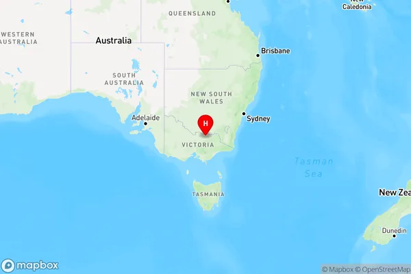
Waldara Region Map

Country
Main Region in AU
R3Coordinates
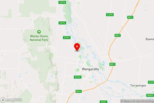
-36.318486,146.2873482 (latitude/longitude)Waldara Area Map (Street)

Longitude
146.482439Latitude
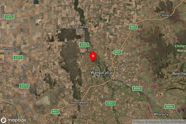
-36.68892Waldara Suburb Map (Satellite)

Distances
The distance from Waldara, Hume, VIC to AU Greater Capital CitiesSA1 Code 2011
20402106608SA1 Code 2016
20402106608SA2 Code
204021066SA3 Code
20402SA4 Code
204RA 2011
2RA 2016
2MMM 2015
3MMM 2019
3Charge Zone
V2LGA Region
WangarattaLGA Code
26700Electorate
Nicholls