Hansonville Area, Hansonville Postcode(3675) & Map in Hansonville, Hume, VIC
Hansonville Area, Hansonville Postcode(3675) & Map in Hansonville, Hume, VIC, AU, Postcode: 3675
Hansonville, Wangaratta Region, Wangaratta - Benalla, Hume, Victoria, Australia, 3675
Hansonville Postcode
Area Name
HansonvilleHansonville Suburb Area Map (Polygon)

Hansonville Introduction
Hansonville is a small township located in the Hume region of Victoria, Australia. It is situated in the Goulburn Valley and is known for its beautiful countryside and peaceful atmosphere. The township has a population of around 1,000 people and is home to a variety of businesses and services, including a supermarket, a post office, a hotel, and a primary school. Hansonville is also a popular destination for outdoor enthusiasts, with many walking and cycling trails nearby. The township is surrounded by picturesque farmland and is located just a short drive from the city of Melbourne.State Name
City or Big Region
District or Regional Area
Suburb Name
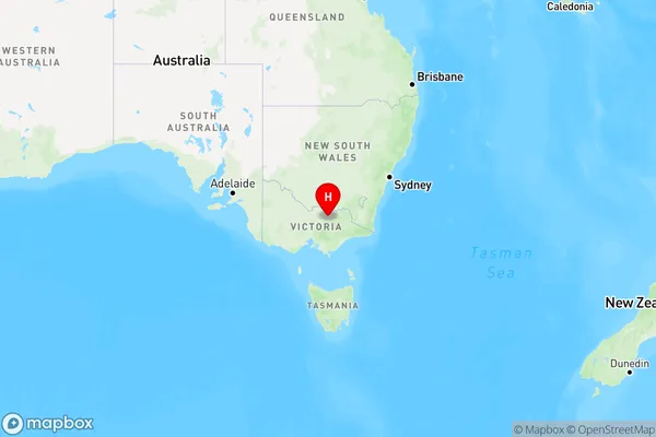
Hansonville Region Map

Country
Main Region in AU
R3Coordinates
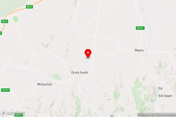
-36.5928571,146.2573078 (latitude/longitude)Hansonville Area Map (Street)

Longitude
146.266835Latitude
-36.565078Hansonville Elevation
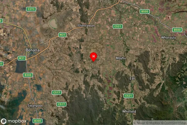
about 189.99 meters height above sea level (Altitude)Hansonville Suburb Map (Satellite)

Distances
The distance from Hansonville, Hume, VIC to AU Greater Capital CitiesSA1 Code 2011
20402106727SA1 Code 2016
20402106727SA2 Code
204021067SA3 Code
20402SA4 Code
204RA 2011
2RA 2016
2MMM 2015
5MMM 2019
5Charge Zone
V2LGA Region
WangarattaLGA Code
26700Electorate
Nicholls