Wangaratta Region Suburbs & Region, Wangaratta Region Map & Postcodes
Wangaratta Region Suburbs & Region, Wangaratta Region Map & Postcodes in Wangaratta Region, Wodonga Alpine, Hume, VIC, AU
Wangaratta Region Region
Region Name
Wangaratta Region (VIC, AU)Wangaratta Region Area
3588 square kilometers (3,588 ㎢)Postal Codes
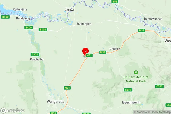
3675, 3678, 3682, 3685, 3723, 3732, 3733, 3735, 3746, and 3747 (In total, there are 10 postcodes in Wangaratta Region.)Wangaratta Region Suburb Area Map (Polygon)

Wangaratta Region Introduction
Wangaratta Region is a local government area in the north-east of Victoria, Australia. It covers an area of 1,072 square kilometers and has a population of approximately 311,000 people. The region is home to the city of Wangaratta and is located in the Hume region. The region is known for its agriculture, with a large number of farms and wineries located in the area. The region also has a number of tourist attractions, including the Wangaratta Art Gallery, the Wangaratta Botanic Gardens, and the Wangaratta Lake.Australia State
City or Big Region
Greater Capital City
Rest of Vic. (2RVIC)District or Regional Area
Suburb Name
Wangaratta Region Region Map
Wangaratta Region Postcodes / Zip Codes
Wangaratta Region Suburbs
Wangaratta Region full address
Wangaratta Region, Wodonga Alpine, Hume, Victoria, VIC, Australia, SaCode: 204021067Country
Wangaratta Region, Wodonga Alpine, Hume, Victoria, VIC, Australia, SaCode: 204021067
Wangaratta Region Suburbs & Region, Wangaratta Region Map & Postcodes has 0 areas or regions above, and there are 52 Wangaratta Region suburbs below. The sa2code for the Wangaratta Region region is 204021067. Its latitude and longitude coordinates are -36.1833,146.467. Wangaratta Region area belongs to Australia's greater capital city Rest of Vic..
Wangaratta Region Suburbs & Localities
1. Glenrowan
2. Greta South
3. Hansonville
4. Bobinawarrah
5. Boorhaman East
6. East Wangaratta
7. North Wangaratta
8. Peechelba
9. Wangandary
10. Wangaratta South
11. Boorhaman North
12. Bowser
13. Byawatha
14. Docker
15. Dockers Plains
16. Killawarra
17. Laceby
18. Milawa
19. Oxley
20. Wabonga
21. Boralma
22. Springhurst
23. Moyhu
24. Whorouly
25. Murmungee
26. Woolshed
27. Greta
28. Boorhaman
29. Carboor
30. Cheshunt
31. Edi
32. Everton
33. Londrigan
34. Markwood
35. Oxley Flats
36. Peechelba East
37. Rose River
38. Whitlands
39. Greta West
40. Cheshunt South
41. Edi Upper
42. Everton Upper
43. King Valley
44. Meadow Creek
45. Tarrawingee
46. Bowmans Forest
47. Whorouly East
48. Whorouly South
49. Archerton
50. Myrrhee
51. Whitfield
52. Eldorado