Everton Upper Area, Everton Upper Postcode(3678) & Map in Everton Upper, Hume, VIC
Everton Upper Area, Everton Upper Postcode(3678) & Map in Everton Upper, Hume, VIC, AU, Postcode: 3678
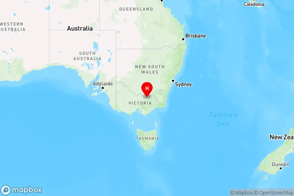
Everton Upper, Wangaratta Region, Wangaratta - Benalla, Hume, Victoria, Australia, 3678
Everton Upper Postcode
Area Name
Everton UpperEverton Upper Suburb Area Map (Polygon)

Everton Upper Introduction
Everton Upper is a small township located in the Hume region of Victoria, Australia. It is situated approximately 100 kilometers north-east of Melbourne and is known for its picturesque countryside and historic buildings. The township has a population of around 1,000 people and is home to a variety of businesses and services, including a primary school, a post office, a general store, and a community hall. Everton Upper is also a popular destination for outdoor enthusiasts, with many walking and cycling trails nearby. The area is rich in history, with several historic buildings and sites, including the Everton Upper Reservoir, which was built in 1888 to provide water to the local community.State Name
City or Big Region
District or Regional Area
Suburb Name
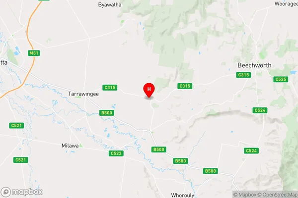
Everton Upper Region Map

Country
Main Region in AU
R3Coordinates
-36.397199,146.5413273 (latitude/longitude)Everton Upper Area Map (Street)

Longitude
146.482439Latitude
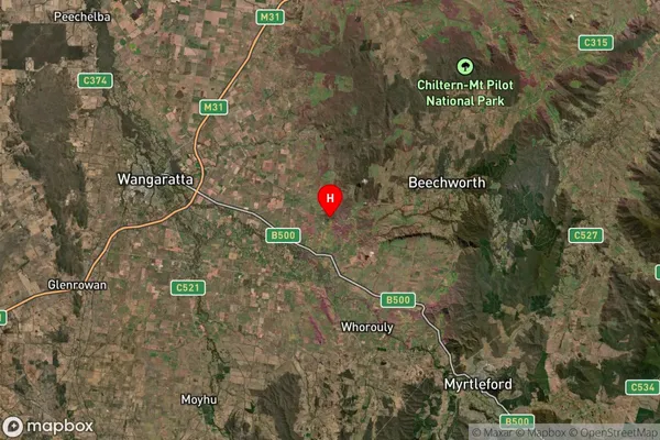
-36.68892Everton Upper Suburb Map (Satellite)

Distances
The distance from Everton Upper, Hume, VIC to AU Greater Capital CitiesSA1 Code 2011
20402106703SA1 Code 2016
20402106703SA2 Code
204021067SA3 Code
20402SA4 Code
204RA 2011
2RA 2016
2MMM 2015
5MMM 2019
5Charge Zone
V2LGA Region
WangarattaLGA Code
26700Electorate
Nicholls