Wodonga Alpine Suburbs & Region, Wodonga Alpine Map & Postcodes
Wodonga Alpine Suburbs & Region, Wodonga Alpine Map & Postcodes in Wodonga Alpine, Hume, VIC, AU
Wodonga Alpine Region
Region Name
Wodonga Alpine (VIC, AU)Wodonga Alpine Area
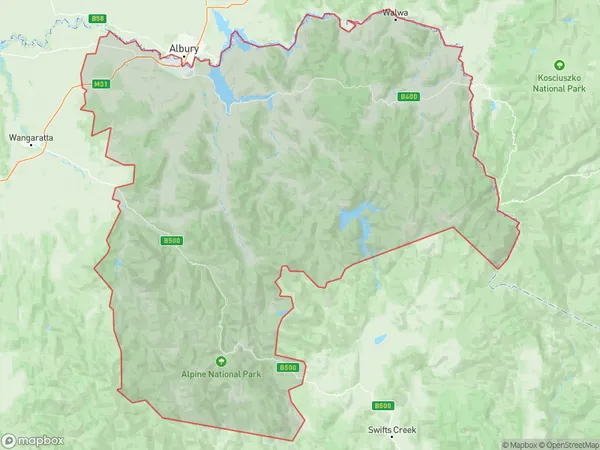
13502 square kilometers (13,502 ㎢)Wodonga Alpine Suburb Area Map (Polygon)
Wodonga Alpine Introduction
Wodonga Alpine is a locality in the Hume region of Victoria, Australia. It is located in the Shire of Buloke, 232 km north-east of Melbourne, and 32 km south-east of Wangaratta. The post office opened as Wodonga on 1 October 1891 and was closed on 28 March 1974. The name was changed to Alpine on 1 July 1926. The area is mostly farmland, with some forested areas. The Wodonga River flows through the locality, and there are several wineries in the area. The nearest major town is Wangaratta, which is 32 km away.Australia State
City or Big Region
District or Regional Area
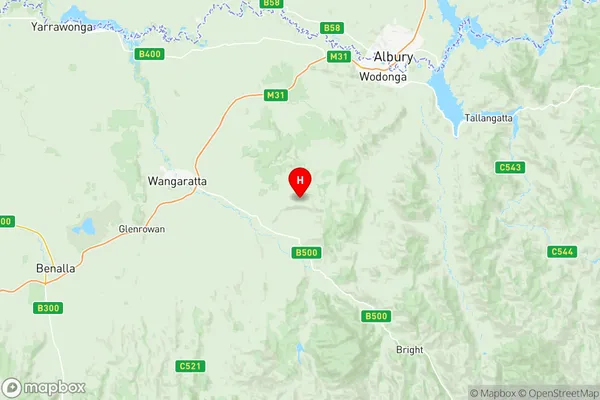
Wodonga Alpine Region Map
Wodonga Alpine Suburbs
Wangaratta Region
West Wodonga
Yackandandah
Baranduda Leneva
Wodonga Alpine full address
Wodonga Alpine, Hume, Victoria, VIC, Australia, SaCode: 20403Country
Wodonga Alpine, Hume, Victoria, VIC, Australia, SaCode: 20403
Wodonga Alpine Suburbs & Region, Wodonga Alpine Map & Postcodes has 10 areas or regions above, and there are 0 Wodonga Alpine suburbs below. The sa3code for the Wodonga Alpine region is 20403. Its latitude and longitude coordinates are -36.3981,146.66.